Birds — Swift, Woodpigeon, Chiffchaff +61 more · last seen 2025; Birds — Swift, Woodpigeon, Chiffchaff +61 more · last seen 2025
Free
🍂
Seasonal nature
Strong match
Ancient woodland — bluebells, fungi and autumn colour; Plants — Japanese Knotweed · last seen 2024
Free
🐶
Dog walks
Strong match
Dogs allowed — public woodland
Free
🦋
Insect spotting
Strong match
Insects — White-legged Damselfly, Eristalis pertinax, Common Red Soldier Beetle +36 more · last seen 2025; Insects — White-legged Damselfly, Eristalis pertinax, Common Red Soldier Beetle +36 more · last seen 2025
Free
🌿
Foraging
Good match
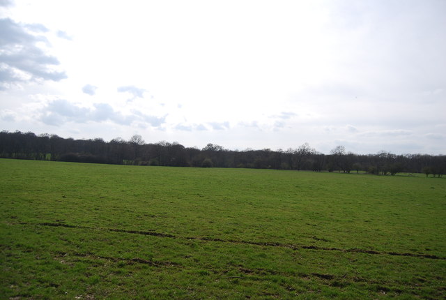
Deciduous woodland — fungi, berries and wild garlic
Varies
Trails nearby
Within roughly 5 km
🚶
Walking
▾
12 signed routes nearby
Signed route nearby
Woodland Ramble, KnoleWalking route4 km▾
Named routeLength 4 kmDuration 01:00Round tripLocal walking route
Ightham Mote Circular Walk to Old Soar Manor, Ightham MoteWalking route11.2 km▾
This circular links two National Trust places, both dating back to medieval England. The trail goes through Scathes ancient woodland, into the Fairlawne Estate & onto Plaxtol Spout before returning to Ightham Mote through orchards & the Greensand Way.
Named routeLength 11.2 kmDuration 04:30Round tripLocal walking route
Greensand WayWalking route▾
Named routeRef GWRegional walking route
Eden Valley WalkWalking route▾
Named routeLocal walking route
Medway Valley WalkWalking route45 km▾
Named routeLength 45 kmRegional walking route
🚴
Cycling
▾
55 signed routes nearby
Signed route nearby
NCN Regional Route 12 (Kent)Cycling route▾
Named routeRef 12Regional cycle route
NCN National Route 178Cycling route▾
Named routeRef 178National Cycle Network
N/ACycling route138 m▾
Named routeRef 12Length 138 mNational Cycle NetworkTraffic-freeSurface asphalt
N/ACycling route90 m▾
Named routeLength 90 mNational Cycle NetworkOn-roadSurface asphalt
N/ACycling route49 m▾
Named routeRef 12Length 49 mNational Cycle NetworkOn-roadSurface asphalt
N/ACycling route180 m▾
Named routeRef 12Length 180 mNational Cycle NetworkTraffic-freeSurface asphalt
🐴
Horse riding
▾
4 public paths nearby
Public paths
Horns Lodge Lanebridleway · 327 m▾
Public pathbridlewayLength 327 mSurface asphaltPath type: bridleway
Horns Lodge Lanebridleway · 1.2 km▾
Public pathbridlewayLength 1.2 kmSurface compactedPath type: track
Horns Lodge Lanebridleway · 617 m▾
Public pathbridlewayLength 617 mSurface asphaltPath type: bridleway
Horns Lodge Lanebridleway · 14 m▾
Public pathbridlewayLength 14 mSurface asphaltPath type: bridleway