Getting here
52.45974, -2.32128
Visiting this summer
Seasonal nature notes and what to look for now
Visiting this summer
Seasonal nature notes and what to look for now
- 🌞Midsummer — early morning visits most comfortable; look for deer fawns in quieter clearings
- 🌿Foraging is at its best in summer here
- 🐕Dogs welcome — bring water in summer; the site has enough space to find shade on hot days
🌤️ Visiting this summer
- 🌞Midsummer — early morning visits most comfortable; look for deer fawns in quieter clearings
- 🌿Foraging is at its best in summer here
- 🐕Dogs welcome — bring water in summer; the site has enough space to find shade on hot days
Good to know
- £Free to visit — no entry charge
- 🐕Dogs welcome
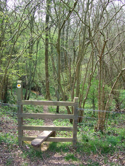
- 🌿Ancient woodland — rare wildlife habitat
Best for
Wildlife
Very strong match
Multi-group wildlife — Amphibians, Birds, Mammals; Multi-group wildlife — Amphibians, Birds, Mammals
Bird watching
Very strong match
Birds — Swallow, Kestrel, Chaffinch +72 more · last seen 2025; Birds — Swallow, Kestrel, Chaffinch +72 more · last seen 2025
Insect spotting
Strong match
Lowland heathland — silver-studded blue and heath fritillary butterflies; Insects — Rhyzobius chrysomeloides, 7-spot Ladybird, 22-spot Ladybird +21 more · last seen 2025
Seasonal nature
Strong match
Ancient woodland — bluebells, fungi and autumn colour
Foraging
Strong match
Traditional orchard — seasonal fruit, fungi and wild plants
Heritage
Good match
Ancient woodland — historic landscape
Trails nearby
Within roughly 5 km🚶Walking
20 signed routes nearby
Signed route nearby
Walking
Captain Geoffrey's Estate Walk, Dudmaston EstateWalking route6.5 km
The walk uses natural paths which can be muddy or slippery. Dogs are welcome.
Morfe Walk, Comer Woods, Dudmaston EstateWalking route6.1 km
All walks use natural paths which can be muddy or slippery. Dog friendly.
Staffordshire Way (Cannock Chase South)Walking route
Staffordshire Way, part Cannock Chase - south
Shropshire Way (Route 11, Link to Severn Way)Walking route14 km
The Highley TrailWalking route3.5 km
A short walk round the former mining village of Highley.
🚴Cycling
27 signed routes nearby
Signed route nearby
Cycling
Mercian WayCycling route
Main RouteCycling route129 m
Main RouteCycling route54 m
Main RouteCycling route528 m
Main RouteCycling route11 m
Main RouteCycling route472 m
🐴Horse riding
1 public path nearby
Public paths
Horse riding
No named routes yet. Public paths are shown on the map.
Wildlife to spot
Photos
Weather for this location
Loading local forecast…
Nearby places
Useful places within 5 km
Own or manage this place?
Claim this listing to keep details accurate, add photos, and highlight what makes it special — free.
Claim this pageHow was your visit?
How useful was the information on this page?
id: d9001b9d-e69b-4cb4-8852-780c086bb561