Plan your visit
Getting here
52.11004, -2.07783
Visiting this summer
Seasonal nature notes and what to look for now
Visiting this summer
Seasonal nature notes and what to look for now
- 🐦70+ species recorded in this area — summer evenings are best for activity; watch for Great Tit and Starling
- ✦Historic character is a year-round quality here — summer brings its own atmosphere to the setting
- ☕Sugar Plum Tea Rooms — a good base for a longer summer day out
🌤️ Visiting this summer
- 🐦70+ species recorded in this area — summer evenings are best for activity; watch for Great Tit and Starling
- ✦Historic character is a year-round quality here — summer brings its own atmosphere to the setting
- ☕Sugar Plum Tea Rooms — a good base for a longer summer day out
Good to know
- £Free to visit — no entry charge
- 🐕Dogs welcome
Best for
Bird watching
Very strong match
Birds — Great Tit, Starling, Woodpigeon +67 more · last seen 2026; Deciduous woodland — woodpeckers, warblers and woodland birds
Wildlife
Strong match
Birds — Great Tit, Starling, Woodpigeon +67 more · last seen 2026; Deciduous woodland priority habitat
Insect spotting
Strong match
Insects — Migrant Hawker, Common Darter, Blue-tailed Damselfly +15 more · last seen 2026
Heritage
Strong match
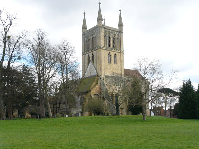
Historic site; Grade I listed building nearby: ABBEY CHURCH OF HOLY CROSS WITH SAINT EDBURGHA
Foraging
Good match
Deciduous woodland — fungi, berries and wild garlic
Easy access
Good match
parking, toilets
Trails nearby
Within roughly 5 km🚶Walking
6 signed routes nearby · 11 public paths nearby
Signed route nearbyPublic paths
Walking
Shakespeare's Avon WayWalking route142 km
From the source at Naseby, Northamptonshire to the Severn at Tewkesbury
Millennium Way (Warks)Walking route100 km
A 100 mile long distance footpath, across the centre of England from Pershore to Chipping Warden via Meriden.
Pershore Bridges Circular WalkWalking route5 km
Wychavon Way (old)Walking route
A route from Holt Fleet on the River Severn to Winchcombe in the Cotswolds.
Eckington Wharf Circular WalkWalking route3.5 km
A 3.5 mile, waymarked riverside walk in the Worcestershire countryside
Garden Stilespublic footpath · 56 m
Avon Waypublic footpath · 198 m
Avon Waypublic footpath · 27 m
🚴Cycling
26 signed routes nearby
Signed route nearby
Cycling
Route (442)Cycling route
Cotswold Line Cycle RouteCycling route
Pershore railway station cycle routeCycling route
Route 21Cycling route
N/ACycling route480 m
N/ACycling route48 m
Wildlife to spot
Photos
Weather for this location
Loading local forecast…
Nearby places
Useful places within 5 km