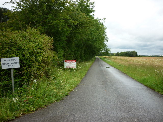
Getting here
53.89146, -1.13286
Visiting this summer
Seasonal nature notes and what to look for now
Visiting this summer
Seasonal nature notes and what to look for now
- 🐦70+ species recorded in this area — summer evenings are best for activity; watch for Robin and Woodpigeon
- 🐕Early mornings are best for dog walks in summer — visit before 9am to avoid the heat and find quieter trails
- 📍Open access throughout summer — no booking required
🌤️ Visiting this summer
- 🐦70+ species recorded in this area — summer evenings are best for activity; watch for Robin and Woodpigeon
- 🐕Early mornings are best for dog walks in summer — visit before 9am to avoid the heat and find quieter trails
- 📍Open access throughout summer — no booking required
Good to know
- £Free to visit — no entry charge
- 🐕Dogs welcome
Best for
Bird watching
Very strong match
Birds — Robin, Woodpigeon, Blackbird +67 more · last seen 2026; Birds — Robin, Woodpigeon, Blackbird +67 more · last seen 2026
Wildlife
Very strong match
Multi-group wildlife — Birds, Mammals; Multi-group wildlife — Birds, Mammals
Dog walks
Strong match
Dogs allowed — public woodland
Cycling
Good match
Named cycling route nearby: Route 66
Foraging
Good match
Deciduous woodland — fungi, berries and wild garlic
Forest walks
Good match
Public woodland
Trails nearby
Within roughly 5 km🚶Walking
6 signed routes nearby
Signed route nearby
Walking
Ebor WayWalking route
Millennium WayWalking route
Jorvic WayWalking route104 km
Minster WayWalking route80 km
Trans-Pennine Trail (Selby to York)Walking route
Trans-Pennine Trail (Selby to York spur)
🚴Cycling
42 signed routes nearby
Signed route nearby
Cycling
Route 66Cycling route
The White Rose Cycle RouteCycling route
NCN National Route 665Cycling route
Solar System RouteCycling route
Main RouteCycling route421 m
Main RouteCycling route4.6 km
🐴Horse riding
2 public paths nearby
Public paths
Horse riding
Green Lanebridleway · 399 m
Green Lanebridleway · 402 m
Wildlife to spot
Photos
Weather for this location
Loading local forecast…
Nearby places
Useful places within 5 km
Own or manage this place?
Claim this listing to keep details accurate, add photos, and highlight what makes it special — free.
Claim this pageHow was your visit?
How useful was the information on this page?
id: 206e5ac6-c128-4836-83f6-59eba2f6662b