Getting here
51.22094, -0.64380
Visiting this summer
Seasonal nature notes and what to look for now
Visiting this summer
Seasonal nature notes and what to look for now
- 🌞Midsummer — early morning visits most comfortable; look for deer fawns in quieter clearings
- 🐕Early mornings are best for dog walks in summer — visit before 9am to avoid the heat and find quieter trails
- 🅿️Greyfriars Overflow Car Park 48m away — 16 car parks within reach
🌤️ Visiting this summer
- 🌞Midsummer — early morning visits most comfortable; look for deer fawns in quieter clearings
- 🐕Early mornings are best for dog walks in summer — visit before 9am to avoid the heat and find quieter trails
- 🅿️Greyfriars Overflow Car Park 48m away — 16 car parks within reach
Good to know
- £Free to visit — no entry charge
- 🐕Dogs welcome
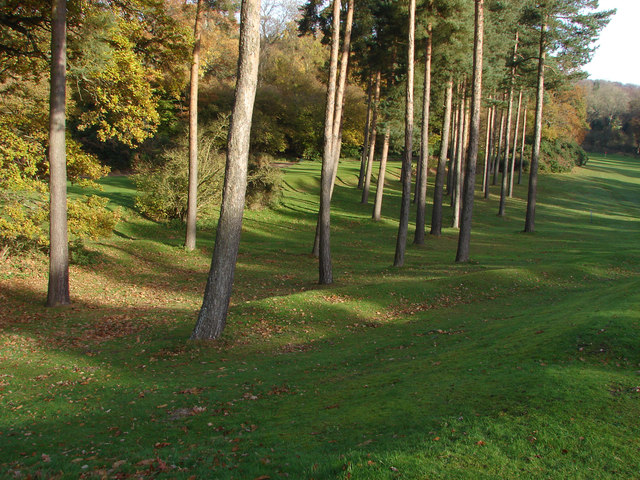
- 🌿Ancient woodland — rare wildlife habitat
Best for
Wildlife
Very strong match
Multi-group wildlife — Amphibians, Birds, Mammals, Reptiles; Multi-group wildlife — Amphibians, Birds, Mammals, Reptiles
Bird watching
Very strong match
Birds — Woodpigeon, Magpie, Carrion Crow +79 more · last seen 2025; Birds — Woodpigeon, Magpie, Carrion Crow +79 more · last seen 2025
Seasonal nature
Strong match
Ancient woodland — bluebells, fungi and autumn colour; Plants — Field Horsetail · last seen 2025
Dog walks
Strong match
Dogs allowed — public woodland
Cycling
Good match
Named cycling route nearby: Route 22
Hiking
Good match
Named hiking route nearby: North Downs Way (Western)
Trails nearby
Within roughly 5 km🚶Walking
9 signed routes nearby · 16 public paths nearby
Signed route nearbyPublic paths
Walking
European walking route E2 west, UK, South East EnglandWalking route
Westroute: Stranraer (UK) - Birminhgham (UK) - Calais (FR) - Zoersel (BE) / Eastroute: Stranraer (UK) - Harwich (UK) - Rotterdam (NL) - Zoersel (BE) / Both Routes: Zoersel (BE) - Maastrich (NL) - Luxembourg (LUX) - Lake Geneva (CH) - Nice (FR)
The Fox WayWalking route
North Downs Way (Western)Walking route
Puttenham walk (SCC)Walking route
Guildford Nature TrailWalking route
Puttenham Golf Club Walkpublic footpath · 536 m
🚴Cycling
41 signed routes nearby
Signed route nearby
Cycling
A3 Cycle RouteCycling route
Route 223Cycling route
Surrey CyclewayCycling route
Farnham link
Route 223Cycling route
Guildford to Chertsey
Route 223Cycling route
Route 22Cycling route
🚵Mountain biking
3 signed routes nearby
Signed route nearby
Mountain biking
Christmas Pie TrailMountain bike route13.7 km
leisure route from East Farnham to northwest Guildford
Cycle Surrey Hills - Elstead LoopMountain bike route
Cycle Surrey Hills - Puttenham LoopMountain bike route
🐴Horse riding
16 public paths nearby
Public paths
Horse riding
No named routes yet. Public paths are shown on the map.
Wildlife to spot
Photos
Weather for this location
Loading local forecast…
Nearby places
Useful places within 5 km
Own or manage this place?
Claim this listing to keep details accurate, add photos, and highlight what makes it special — free.
Claim this pageHow was your visit?
How useful was the information on this page?
id: 7a432513-2316-4f96-b154-f80dc0fe1d1b