Getting here
51.03401, -1.18972
Visiting this summer
Seasonal nature notes and what to look for now
Visiting this summer
Seasonal nature notes and what to look for now
- 🌞Midsummer — early morning visits most comfortable; look for deer fawns in quieter clearings
- 🐕Early mornings are best for dog walks in summer — visit before 9am to avoid the heat and find quieter trails
- 📍Open access throughout summer — no booking required
🌤️ Visiting this summer
- 🌞Midsummer — early morning visits most comfortable; look for deer fawns in quieter clearings
- 🐕Early mornings are best for dog walks in summer — visit before 9am to avoid the heat and find quieter trails
- 📍Open access throughout summer — no booking required
Good to know
- £Free to visit — no entry charge
- 🐕Dogs welcome
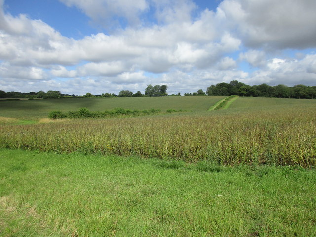
- 🌿Ancient woodland — rare wildlife habitat
Best for
Wildlife
Very strong match
Multi-group wildlife — Birds, Mammals, Reptiles; Multi-group wildlife — Birds, Mammals, Reptiles
Bird watching
Very strong match
Birds — Woodpigeon, Blue Tit, Blackbird +63 more · last seen 2025; Birds — Woodpigeon, Blue Tit, Blackbird +63 more · last seen 2025
Insect spotting
Strong match
Insects — Dock Bug, Hairy Shieldbug, Cramp-Ball Fungus Weevil +54 more · last seen 2025; Insects — Dock Bug, Hairy Shieldbug, Cramp-Ball Fungus Weevil +54 more · last seen 2025
Dog walks
Strong match
Dogs allowed — public woodland
Seasonal nature
Strong match
Ancient woodland — bluebells, fungi and autumn colour
Mountain biking
Good match
Named MTB route nearby: South Downs Way
Trails nearby
Within roughly 5 km🚶Walking
9 signed routes nearby
Signed route nearby
Walking
Wayfarers WalkWalking route
Walbury Hill, Berkshire to Emsworth, Hampshire
Allan King WayWalking route
Monarch's WayWalking route990 km
approximate route of Charles II's escape
Itchen WayWalking route
Pilgrims' TrailWalking route
🚴Cycling
2 signed routes nearby
Signed route nearby
Cycling
National BywayCycling route
National Byway (Winchester loop)Cycling route
🚵Mountain biking
5 signed routes nearby
Signed route nearby
Mountain biking
South Downs WayMountain bike route
Winchester Off Road Cycle TrailMountain bike route
South Downs Way alternative route through WarnfordMountain bike route
King Alfred's WayMountain bike route
King Alfreds Way is 350km (220 miles) off road route designed to be ridden clockwise. It starts & ends in Winchester. It is suitable for gravel or cross-country bikes.
Cheesefoot Head Off Road Cycle TrailMountain bike route
🐴Horse riding
5 public paths nearby
Public paths
Horse riding
Ball's Lanerestricted byway · 1.7 km
Holden Lanerestricted byway · 699 m
South Downs Way
Holden Lanerestricted byway · 179 m
South Downs Way
Church Lanerestricted byway · 419 m
Holden Lanerestricted byway · 336 m
South Downs Way
Wildlife to spot
Photos
Weather for this location
Loading local forecast…
Nearby places
Useful places within 5 km
Own or manage this place?
Claim this listing to keep details accurate, add photos, and highlight what makes it special — free.
Claim this pageHow was your visit?
How useful was the information on this page?
id: 7cd9a79b-0fbe-420a-9741-cd89ad3997c3