Getting here
53.07160, -2.11356
Visiting this summer
Seasonal nature notes and what to look for now
Visiting this summer
Seasonal nature notes and what to look for now
- 🌞Midsummer — early morning visits most comfortable; look for deer fawns in quieter clearings
- ✦Historic character is a year-round quality here — summer brings its own atmosphere to the setting
- 🐕Dogs welcome — bring water in summer; the site has enough space to find shade on hot days
🌤️ Visiting this summer
- 🌞Midsummer — early morning visits most comfortable; look for deer fawns in quieter clearings
- ✦Historic character is a year-round quality here — summer brings its own atmosphere to the setting
- 🐕Dogs welcome — bring water in summer; the site has enough space to find shade on hot days
Good to know
- 🐕Dogs welcome
Best for
Wildlife
Very strong match
Multi-group wildlife — Amphibians, Birds, Mammals; Multi-group wildlife — Amphibians, Birds, Mammals
Bird watching
Very strong match
Birds — Mallard, Woodpigeon, Canada Goose +72 more · last seen 2025; Birds — Mallard, Woodpigeon, Canada Goose +72 more · last seen 2025
Heritage
Strong match
Historic site
Insect spotting
Good match
Insects — 7-spot Ladybird, Common Darter, Migrant Hawker +11 more · last seen 2025; Insects — 7-spot Ladybird, Common Darter, Migrant Hawker +11 more · last seen 2025
Seasonal nature
Good match
Plants — Common Nettle, Lesser Celandine, Yellow-rattle +5 more · last seen 2026; Plants — Common Nettle, Lesser Celandine, Yellow-rattle +5 more · last seen 2026
Trails nearby
Within roughly 5 km🚶Walking
7 signed routes nearby · 13 public paths nearby
Signed route nearbyPublic paths
Walking
Habitat Walk Ladderedge Country Park (Green Arrows)Walking route
Includes some hills
Trent Valley WayWalking route304 km
Churnet WayWalking route
Staffordshire Way (Rushton Spencer - Cannock Chase)Walking route76 km
Staffordshire Way, part Rushton Spencer - Cannock Chase
Meadow Walk Ladderedge Country Park (Purple Arrows)Walking route
Easy walk
Bagnall 1public footpath · 2 m
Bagnall 1public footpath · 97 m
Endon and Stanley 71public footpath · 48 m
🚴Cycling
50 signed routes nearby
Signed route nearby
Cycling
Route 559Cycling route
National Cycle Network Route 5Cycling route
National Route 550Cycling route
Route 55Cycling route
Main RouteCycling route37 m
Main RouteCycling route470 m
Wildlife to spot
Photos
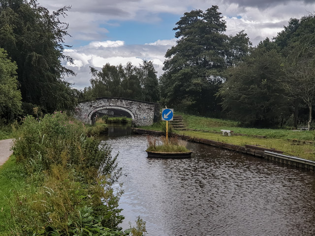
Victoria Mill wharf and swing bridge base, Caldon Canal, Stockton brook
Weather for this location
Loading local forecast…
Nearby places
Useful places within 5 km
Own or manage this place?
Claim this listing to keep details accurate, add photos, and highlight what makes it special — free.
Claim this pageHow was your visit?
How useful was the information on this page?
id: bf9f67da-2ce2-4d9e-a38d-8477c3e519d8