Plan your visit
🦉 Wildlife🦅 Birds🦋 Insects
Public access Free entry Dogs welcome 8 ha
Places › England › London › Redbridge Getting here
51.62213, 0.02624
Open directionsv Visiting this summer
Seasonal nature notes and what to look for now
▾ 🌞 Midsummer — early morning visits most comfortable; look for deer fawns in quieter clearings 🐕 Early mornings are best for dog walks in summer — visit before 9am to avoid the heat and find quieter trails 🅿️ The Holly Private Hospital 16m away — 6 car parks within reach 🌤️ Visiting this summer
🌞 Midsummer — early morning visits most comfortable; look for deer fawns in quieter clearings 🐕 Early mornings are best for dog walks in summer — visit before 9am to avoid the heat and find quieter trails 🅿️ The Holly Private Hospital 16m away — 6 car parks within reach £ Free to visit — no entry charge🐕 Dogs welcome🦉 Wildlife
Very strong match
Multi-group wildlife — Amphibians, Birds, Mammals, Reptiles; Multi-group wildlife — Amphibians, Birds, Mammals, Reptiles
Free
🦅 Bird watching
Very strong match
Birds — Mute Swan, Magpie, Carrion Crow +64 more · last seen 2026; Birds — Mute Swan, Magpie, Carrion Crow +64 more · last seen 2026
Free
🦋 Insect spotting
Strong match
Insects — Harlequin Ladybird, Closterotomus trivialis, Marmalade Hoverfly +177 more · last seen 2026; Insects — Harlequin Ladybird, Closterotomus trivialis, Marmalade Hoverfly +177 more · last seen 2026
Free
Dogs allowed — public woodland
Free
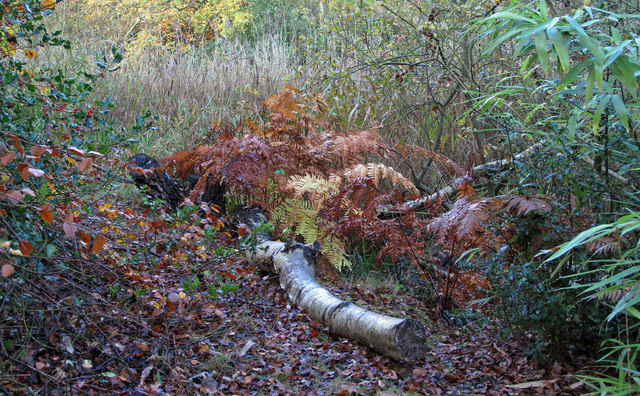
Deciduous woodland — fungi, berries and wild garlic
Varies
Trails nearby Within roughly 5 km 17 signed routes nearby · 1 public path nearby
Signed route nearby Public paths
Public Right of Way 74 Walking route ▾
Named route Ref 74 Local walking route
Show on map Oak Trail Walking route ▾
Named route Local walking route
Show on map Epping Forest Big Walk Walking route ▾
Named route Local walking route
Show on map London LOOP (Section 19) Walking route ▾
Named route Ref LOOP Regional walking route
Show on map Beech Trail Walking route ▾
Named route Local walking route
Show on map 100 signed routes nearby
Signed route nearby
NCN National Route 1 Cycling route ▾
Named route Ref 1 National Cycle Network
Show on map Roding Valley Way Cycling route ▾
Named route Ref RVW Point-to-point Local cycle route
Show on map Cycleway 26 Cycling route ▾
Named route Ref C26 Regional cycle route
Show on map River Lea Navigation Cycling route ▾
Named route Local cycle route
Show on map Cycleway 16 Cycling route ▾
Link from Cycleway 16 to Barkingside station
Named route Ref C16 Regional cycle route
Show on map Cycleway 1 Cycling route ▾
Named route Ref C1 Regional cycle route
Show on map 6 public paths nearby
Public paths
Tuttlebee Lane bridleway · 80 m ▾
Public path bridleway Length 80 m Path type: residential
Show on map Monkham's Lane bridleway · 666 m ▾
Public path bridleway Length 666 m Surface compacted Path type: bridleway
Show on map Tuttlebee Lane bridleway · 69 m ▾
Public path bridleway Length 69 m Surface compacted Path type: track
Show on map Monkham's Lane bridleway · 24 m ▾
Public path bridleway Length 24 m Surface compacted Path type: service
Show on map
Weather for this location Next 14 days Nearby places Useful places within 5 km
Own or manage this place?
Claim this listing to keep details accurate, add photos, and highlight what makes it special — free.
Claim this page→ How useful was the information on this page?
id: 8c7262e2-be78-4f8c-8ced-d5524d156d7a
UK green spaces mapped from open public data — so anyone can find the woodland, trail, or nature reserve closest to them.
© 2026 Glade · Made with care for UK green spaces
Wildlife to spot
45,557 records · National Biodiversity Network
▾
Wildlife to spot 45,557 records · National Biodiversity Network 🐦 Birds 44 species
winter autumn
2026 ▾
Tufted Duck · Magpie · Mallard · Carrion Crow · Coot +39
Tufted Duck Aythya fuligula Magpie Pica pica Mallard Anas platyrhynchos Carrion Crow Corvus corone2025 Coot Fulica atra Grey Heron Ardea cinerea Robin Erithacus rubecula Black-headed Gull Chroicocephalus ridibundus Blue Tit Cyanistes caeruleus Woodpigeon Columba palumbus Moorhen Gallinula chloropus Canada Goose Branta canadensis Jackdaw Coloeus monedula Mute Swan Cygnus olor Great Spotted Woodpecker Dendrocopos major Egyptian Goose Alopochen aegyptiaca2025 Goldfinch Carduelis carduelis Great Tit Parus major Nuthatch Sitta europaea Kingfisher Alcedo atthis Greylag Goose Anser anser Green Woodpecker Picus viridis Common Gull Larus canus2025 Cormorant Phalacrocorax carbo2025 Wren Troglodytes troglodytes2025 Long-tailed Tit Aegithalos caudatus Teal Anas crecca Starling Sturnus vulgaris2025 Blackbird Turdus merula2025 Rock Dove Columba livia2025 Jay Garrulus glandarius2025 Gadwall Mareca strepera2025 Little Egret Egretta garzetta2025 Coal Tit Periparus ater Great Crested Grebe Podiceps cristatus House Sparrow Passer domesticus Collared Dove Streptopelia decaocto2025 Herring Gull Larus argentatus2025 Chaffinch Fringilla coelebs2025 Siskin Spinus spinus2025 Great Black-backed Gull Larus marinus2025 Lesser Black-backed Gull Larus fuscus2025 Mandarin Duck Aix galericulata2025 Treecreeper Certhia familiaris2025 🦌 Mammals 2 species
winter spring
2026 ▾
Grey Squirrel · Brown Rat
Grey Squirrel Sciurus carolinensis Brown Rat Rattus norvegicus 🐸 Amphibians 5 species
winter spring
2026 ▾
Palmate Newt · Smooth Newt · Common Frog · Common Toad · Great Crested Newt
Palmate Newt Lissotriton helveticus Smooth Newt Lissotriton vulgaris Common Frog Rana temporaria Common Toad Bufo bufo Great Crested Newt Triturus cristatus Southern Green Shieldbug · Back-Swimmer · Orange Ladybird · Epistrophe eligans · Water Scorpion +3
Southern Green Shieldbug Nezara viridula2025 Back-Swimmer Notonecta Orange Ladybird Halyzia sedecimguttata2025 Epistrophe eligans Epistrophe eligans Water Scorpion Nepa cinerea Southern Oak Bush-cricket Meconema meridionale2025 Species observations from the last 10 years via NBN Atlas
Varied Carpet Beetle Anthrenus verbasci2025
Varied Carpet Beetle Anthrenus verbasci2025
Batman Hoverfly Myathropa florea2025
Batman Hoverfly Myathropa florea2025 Events & activities nearby Switch provider to compare local events, tours and bookable activities.
Bookable tours GetYourGuide Promote here