Plan your visit
Getting here
51.29242, -0.33713
Visiting this summer
Seasonal nature notes and what to look for now
Visiting this summer
Seasonal nature notes and what to look for now
- 🐦41+ species recorded in this area — summer evenings are best for activity; watch for Woodpigeon and Magpie
- 🐕Early mornings are best for dog walks in summer — visit before 9am to avoid the heat and find quieter trails
- ☕Café on site — makes this an easy full-day family visit without needing to pack food
🌤️ Visiting this summer
- 🐦41+ species recorded in this area — summer evenings are best for activity; watch for Woodpigeon and Magpie
- 🐕Early mornings are best for dog walks in summer — visit before 9am to avoid the heat and find quieter trails
- ☕Café on site — makes this an easy full-day family visit without needing to pack food
Good to know
- £Free to visit — no entry charge
- 🐕Dogs welcome
Best for
Bird watching
Very strong match
Birds — Woodpigeon, Magpie, Gadwall +38 more · last seen 2026; Nature reserve
Wildlife
Strong match
Nature reserve; Birds — Woodpigeon, Magpie, Gadwall +38 more · last seen 2026
Dog walks
Strong match
Dogs allowed — nature reserve
Forest walks
Strong match
Nature reserve
Seasonal nature
Strong match
Nature reserve — seasonal wildlife and habitats; Plants — Green Alkanet, Ground-ivy, Hogweed +1 more · last seen 2026
Family friendly
Good match
café
Trails nearby
Within roughly 5 km🚶Walking
33 signed routes nearby · 15 public paths nearby
Signed route nearbyPublic paths
Walking
Mole Gap TrailWalking route
Box Hill Train To Stepping Stones Walk, Box HillWalking route4.8 km
The Box Hill Hike, Box HillWalking route12.8 km
Circular walk, dog friendly, steep climbs and steps, paths may be slippery in winter, Please take care with your footing and wear suitable footwear for the conditions, Broadwood's Folly, Mickleham Gallops
Box Hill Happy Valley circular walk, Box HillWalking route4.3 km
Circular walk. Dog Friendly, Paths can be slippery in winter, Box Hill, Broadwood's tower folly, Juniper Valley, Happy Valley, Salomons Memorial Viewpoint
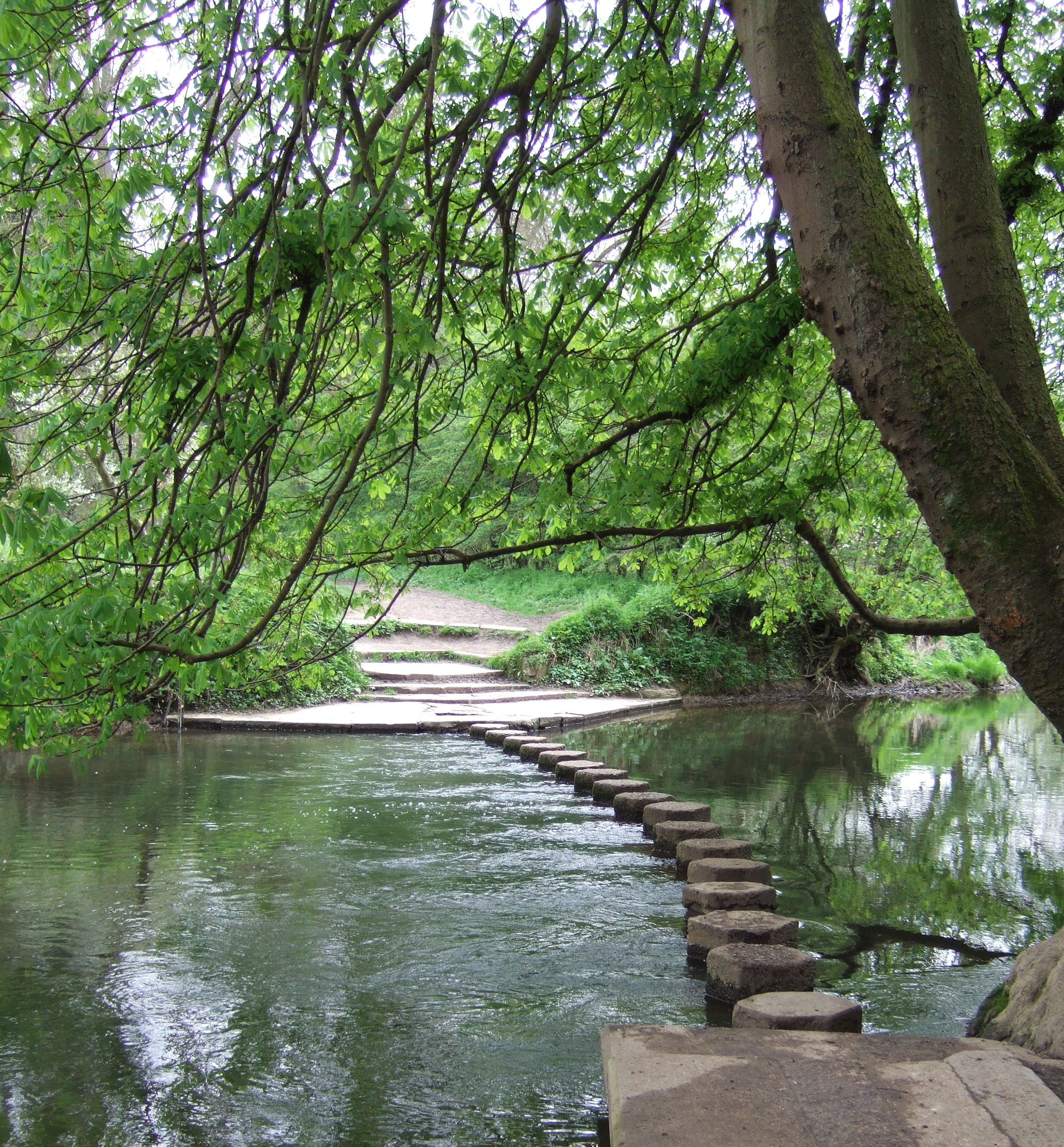
Box Hill Stepping Stones walk, Box HillWalking route3.2 km
FP 58public footpath · 139 m
Riverside Walk (FP 123)public footpath · 430 m
Mole Gap Trail (FP 594)public footpath · 582 m
🚴Cycling
20 signed routes nearby
Signed route nearby
Cycling
Leatherhead - Ashtead A24 Cycle trackCycling route
Route 22Cycling route
Surrey CyclewayCycling route
Epsom link
Surrey CyclewayCycling route
Cycle route consisting of main loop plus link routes
Main RouteCycling route48 m
Main RouteCycling route35 m
🐴Horse riding
17 public paths nearby
Public paths
Horse riding
River Lanebyway open to all traffic · 15 m
River Lanebyway open to all traffic · 24 m
Thorncroft Drivebridleway · 17 m
Thorncroft Drivebridleway · 38 m
Thorncroft Drivebridleway · 16 m
Wildlife to spot
Photos
Weather for this location
Loading local forecast…
Nearby places
Useful places within 5 km