Plan your visit
Getting here
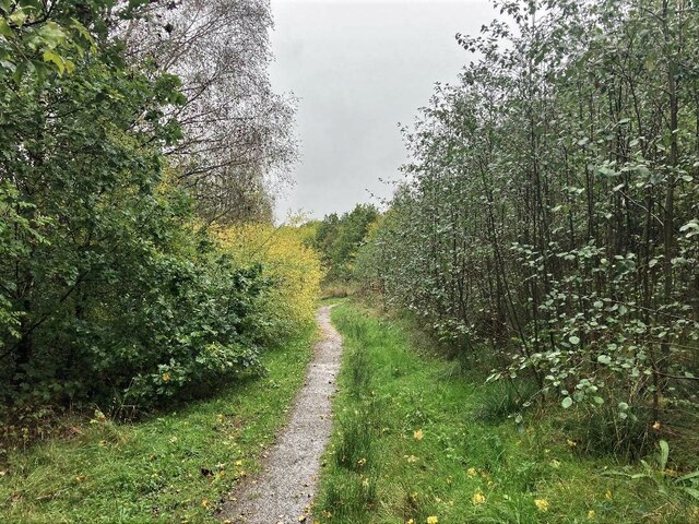
53.11790, -1.29542
Visiting this summer
Seasonal nature notes and what to look for now
Visiting this summer
Seasonal nature notes and what to look for now
- 🐦73+ species recorded in this area — summer evenings are best for activity; watch for Blue Tit and Magpie
- 🐕Early mornings are best for dog walks in summer — visit before 9am to avoid the heat and find quieter trails
- 📍Open access throughout summer — no booking required
🌤️ Visiting this summer
- 🐦73+ species recorded in this area — summer evenings are best for activity; watch for Blue Tit and Magpie
- 🐕Early mornings are best for dog walks in summer — visit before 9am to avoid the heat and find quieter trails
- 📍Open access throughout summer — no booking required
Good to know
- £Free to visit — no entry charge
- 🐕Dogs welcome
Best for
Bird watching
Very strong match
Birds — Blue Tit, Magpie, Blackbird +70 more · last seen 2025; Birds — Blue Tit, Magpie, Blackbird +70 more · last seen 2025
Wildlife
Very strong match
Multi-group wildlife — Birds, Mammals; Multi-group wildlife — Birds, Mammals
Seasonal nature
Strong match
Plants — Blueish Veilwort, River Feather-moss, Neat Feather-moss +41 more · last seen 2025; Plants — Blueish Veilwort, River Feather-moss, Neat Feather-moss +41 more · last seen 2025
Dog walks
Strong match
Dogs allowed with public access
Insect spotting
Good match
Insects — Common Wasp, Bee, 2-spot Ladybird +7 more · last seen 2025; Insects — Common Wasp, Bee, 2-spot Ladybird +7 more · last seen 2025
Foraging
Good match
Deciduous woodland — fungi, berries and wild garlic
Trails nearby
Within roughly 5 km🚶Walking
6 signed routes nearby · 41 public paths nearby
Signed route nearbyPublic paths
Walking
Skegby TrailWalking route
Three Centres TrailWalking route
Tibshelf WalkWalking route
Astwith WalkWalking route
Pilsley WalkWalking route
Mill Lanepublic footpath · 368 m
Henning Lanepublic footpath · 123 m
Mill Lanepublic footpath · 50 m
🚴Cycling
10 signed routes nearby
Signed route nearby
Cycling
Blackwell TrailCycling route
Skegby TrailCycling route
Route 67Cycling route
Teversal TrailCycling route
Main RouteCycling route23 m
Main RouteCycling route3.1 km
🐴Horse riding
10 public paths nearby
Public paths
Horse riding
Mill Lanerestricted byway · 565 m
Blackwell Trailbridleway · 960 m
Blackwell Trailbridleway · 20 m
Blackwell Trailbridleway · 51 m
Cross Lanerestricted byway · 75 m
Wildlife to spot
Photos
Weather for this location
Loading local forecast…
Nearby places
Useful places within 5 km
Own or manage this place?
Claim this listing to keep details accurate, add photos, and highlight what makes it special — free.
Claim this pageHow was your visit?
How useful was the information on this page?
id: 0df4f18d-2fca-4b3b-8960-04421a3b378a