Getting here
53.68289, -2.32333
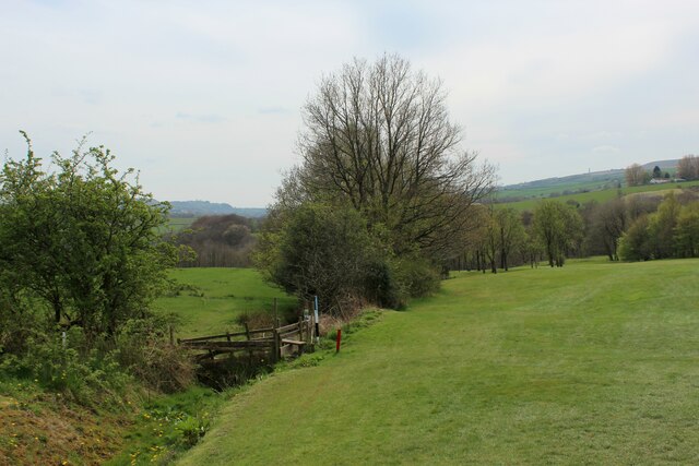
Visiting this summer
Seasonal nature notes and what to look for now
Visiting this summer
Seasonal nature notes and what to look for now
- 🌞Midsummer — early morning visits most comfortable; look for deer fawns in quieter clearings
- 🐕Early mornings are best for dog walks in summer — visit before 9am to avoid the heat and find quieter trails
- 📍Open access throughout summer — no booking required
🌤️ Visiting this summer
- 🌞Midsummer — early morning visits most comfortable; look for deer fawns in quieter clearings
- 🐕Early mornings are best for dog walks in summer — visit before 9am to avoid the heat and find quieter trails
- 📍Open access throughout summer — no booking required
Good to know
- £Free to visit — no entry charge
- 🐕Dogs welcome
Best for
Wildlife
Very strong match
Multi-group wildlife — Amphibians, Birds, Mammals; Multi-group wildlife — Amphibians, Birds, Mammals
Bird watching
Very strong match
Birds — Woodpigeon, Goldfinch, Blackbird +55 more · last seen 2026; Birds — Woodpigeon, Goldfinch, Blackbird +55 more · last seen 2026
Seasonal nature
Strong match
Plants — Hawthorn, Common Sorrel, Cuckooflower +110 more · last seen 2026; Plants — Hawthorn, Common Sorrel, Cuckooflower +110 more · last seen 2026
Dog walks
Strong match
Dogs allowed — public woodland
Foraging
Strong match
Plants — Hawthorn, Common Sorrel, Common Nettle +15 more foraging species
Insect spotting
Strong match
Insects — Small White, White-letter Hairstreak, Small Tortoiseshell +38 more · last seen 2026; Insects — Small White, White-letter Hairstreak, Small Tortoiseshell +38 more · last seen 2026
Trails nearby
Within roughly 5 km🚶Walking
7 signed routes nearby · 38 public paths nearby
Signed route nearbyPublic paths
Walking
Warpers Trail - Witton Weavers WayWalking route
Mary Towneley LoopWalking route
Forms part of Pennine Bridleway National Trail
Irwell Sculpture TrailWalking route
Rochdale WayWalking route
Rossendale WayWalking route
A high-level route around Bacup, Rawtenstall, Haslingden and Whitworth in the Rossendale Valley, crossing the open moors and farmland of the South Pennines which roughly follows the Rossendale Borough boundary.
Holme Vale (Snig Hole)public footpath · 54 m
Cherry Tree Waypublic footpath · 158 m
Holme Vale (Snig Hole)public footpath · 35 m
🚴Cycling
54 signed routes nearby
Signed route nearby
Cycling
Route 6Cycling route
Lancashire Cycleway (Southern Loop)Cycling route
Vos Stansfield Road - Cowpe RoadCycling route
Blackburn Rd/Manchester Rd ACLCycling route
Britannia GreenwayCycling route
Main RouteCycling route510 m
Wildlife to spot
Photos
Weather for this location
Loading local forecast…
Nearby places
Useful places within 5 km
Own or manage this place?
Claim this listing to keep details accurate, add photos, and highlight what makes it special — free.
Claim this pageHow was your visit?
How useful was the information on this page?
id: 705e4f6a-4c4f-4dc9-a93e-001aa0727115