🐦61+ species recorded in this area — summer evenings are best for activity; watch for Corn Bunting and Chaffinch
✦Historic character is a year-round quality here — summer brings its own atmosphere to the setting
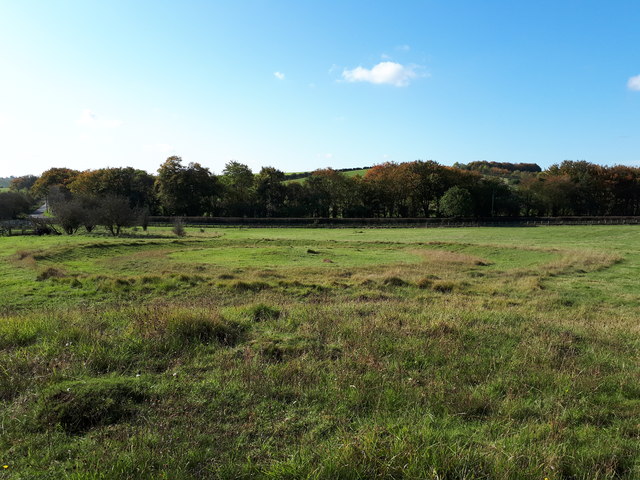
🐕Dogs welcome — bring water in summer; the site has enough space to find shade on hot days
🌤️ Visiting this summer
🐦61+ species recorded in this area — summer evenings are best for activity; watch for Corn Bunting and Chaffinch
✦Historic character is a year-round quality here — summer brings its own atmosphere to the setting
🐕Dogs welcome — bring water in summer; the site has enough space to find shade on hot days
Good to know
£Free to visit — no entry charge
🐕Dogs welcome
Best for
6 activities
🦅
Bird watching
Very strong match
Birds — Corn Bunting, Chaffinch, Carrion Crow +58 more · last seen 2026
Free
🦉
Wildlife
Strong match
Birds — Corn Bunting, Chaffinch, Carrion Crow +58 more · last seen 2026; Lowland calcareous grassland priority habitat
Free
✦
Heritage
Strong match
Historic site with public access
Free
🦋
Insect spotting
Strong match
Chalk and limestone grassland — chalkhill blue, adonis blue and rare moths; Insects — Meadow Brown, Small Heath, Marbled White +61 more · last seen 2025
Free
🐶
Dog walks
Good match
Dogs allowed with public access
Free
🏡
Historic gardens
Good match
Historic site with public access
Varies
Trails nearby
Within roughly 5 km
🚶
Walking
▾
5 signed routes nearby
Signed route nearby
The RidgewayWalking route140 km▾
Named routeRef RWLength 140 kmNational walking route
D'Arcy Dalton WayWalking route107 km▾
Follows roughly the western boundary of Oxfordshire in unspoilt countryside.
Named routeLength 107 kmRegional walking route
White horse circular walkWalking route▾
Named routeRef WHCWLocal walking route
Lambourn Valley WayWalking route▾
Named routeLocal walking route
White Horse Hill to Ashdown Walk, White Horse HillWalking route12.3 km▾
Long circular across the ancient chalk downs of Oxfordshire, neolithic sites and history found along this stretch of the ancient Ridgeway. Mixture of hard paths and field paths. Route can be muddy after wet weather. Take care at road crossings.
Named routeLength 12.3 kmDuration 04:00Round tripLocal walking route
🚴
Cycling
▾
2 signed routes nearby
Signed route nearby
Round Berkshire Cycle RouteCycling route▾
Named routeRegional cycle route
Vale Cycle LinksCycling route▾
Named route
🚵
Mountain biking
▾
1 signed route nearby
Signed route nearby
King Alfred's WayMountain bike route▾
King Alfreds Way is 350km (220 miles) off road route designed to be ridden clockwise. It starts & ends in Winchester. It is suitable for gravel or cross-country bikes.
Named routeRegional cycle route
🐴
Horse riding
▾
3 public paths nearby
Public paths
No named routes yet. Public paths are shown on the map.