☀️June — long evenings and clear skies; one of the most rewarding months for a late visit
⛳Golf is at its best in summer here
🐕Dogs welcome — bring water in summer; the site has enough space to find shade on hot days
🌤️ Visiting this summer
☀️June — long evenings and clear skies; one of the most rewarding months for a late visit
⛳Golf is at its best in summer here
🐕Dogs welcome — bring water in summer; the site has enough space to find shade on hot days
Good to know
🐕Dogs welcome
Best for
1 activity
⛳
Golf
Very strong match
Golf course
Paid
Trails nearby
Within roughly 5 km
🚶
Walking
▾
15 signed routes nearby · 65 public paths nearby
Signed route nearbyPublic paths
Chelwood Vachery (Ashdown Forest on foot)Walking route▾
Named routeRef AF-CVLocal walking route
Vanguard WayWalking route111 km▾
Named routeRef VGWLength 111 kmRegional walking route
Worth WayWalking route▾
Named routeLocal walking route
Standen TrailWalking route▾
Named route
Bluebell Walk at StandenWalking route4.8 km▾
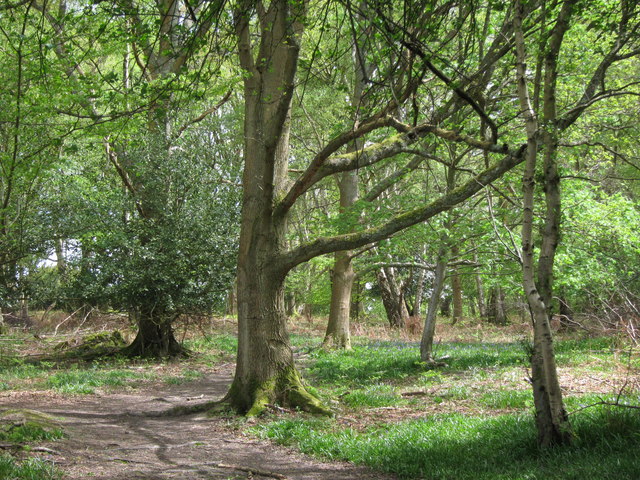
This moderate walk takes in the whole Standen Estate & wider countryside. If you visit in April and early May, you'll see the carpet of bluebells and spring flowers in Rockinghill Wood. Hills, rough ground & one steep slope. Not suitable for wheels.
Named routeLength 4.8 kmDuration 01:00-02:00Round tripLocal walking route
Spring Meadowpublic footpath · 131 m▾
Public pathpublic footpathLength 131 mSurface gravelPath type: residential
Tompsets Bankpublic footpath · 163 m▾
Public pathpublic footpathLength 163 mSurface asphaltPath type: residential
Primrose Lanepublic footpath · 128 m▾
Public pathpublic footpathLength 128 mSurface asphaltPath type: residential
🚴
Cycling
▾
32 signed routes nearby
Signed route nearby
Avenue Verte London ↔ ParisCycling route▾
English part of Avenue Verte London ↔ Paris, an international cycle route that connects the two capital cities
Named routeRef AVInternational cycle route
Route 21Cycling route▾
Named routeRef 21National Cycle Network
Main RouteCycling route3.7 km▾
Named routeRef 21Length 3.7 kmNational Cycle NetworkTraffic-freeSurface unsealedfirm
Main RouteCycling route283 m▾
Named routeRef 21Length 283 mNational Cycle NetworkTraffic-freeSurface asphalt
Main RouteCycling route44 m▾
Named routeRef 21Length 44 mNational Cycle NetworkTraffic-freeSurface unsealedfirm
Main RouteCycling route40 m▾
Named routeRef 21Length 40 mNational Cycle NetworkTraffic-freeSurface asphalt
🚵
Mountain biking
▾
1 signed route nearby
Signed route nearby
Deers Leap Main TrailMountain bike route▾
Named route
🐴
Horse riding
▾
14 public paths nearby
Public paths
Poplar Lanebyway open to all traffic · 278 m▾
Public pathbyway open to all trafficLength 278 mSurface groundPath type: residential
Tompsets Bankbyway open to all traffic · 296 m▾
Public pathbyway open to all trafficLength 296 mSurface asphaltPath type: residential
Highgate Roadbyway open to all traffic · 99 m▾
Public pathbyway open to all trafficLength 99 mSurface asphaltPath type: residential
Inkpen Lanebyway open to all traffic · 108 m▾
Public pathbyway open to all trafficLength 108 mSurface gravelPath type: residential
Chapel Lanebyway open to all traffic · 15 m▾
Public pathbyway open to all trafficLength 15 mSurface pavedPath type: residential