Ryde United Reformed Church
Getting here
50.71957, -1.17318
Visiting this summer
Seasonal nature notes and what to look for now
Visiting this summer
Seasonal nature notes and what to look for now
- 🌞Midsummer — early morning visits most comfortable; look for deer fawns in quieter clearings
- 🐕Early mornings are best for dog walks in summer — visit before 9am to avoid the heat and find quieter trails
- 🅿️Parking 66m away — 20 car parks within reach
🌤️ Visiting this summer
- 🌞Midsummer — early morning visits most comfortable; look for deer fawns in quieter clearings
- 🐕Early mornings are best for dog walks in summer — visit before 9am to avoid the heat and find quieter trails
- 🅿️Parking 66m away — 20 car parks within reach
Good to know
- £Free to visit — no entry charge
- 🐕Dogs welcome
Best for
Wildlife
Very strong match
Multi-group wildlife — Birds, Mammals, Reptiles; Multi-group wildlife — Birds, Mammals, Reptiles
Bird watching
Strong match
Birds — Herring Gull, Woodpigeon, Rock Dove +45 more · last seen 2025; Birds — Herring Gull, Woodpigeon, Rock Dove +45 more · last seen 2025
Dog walks
Good match
Dogs allowed with public access
Insect spotting
Good match
Insects — Migrant Hawker, Harlequin Ladybird, Deraeocoris (Deraeocoris) flavilinea · last seen 2025; Insects — Migrant Hawker, Harlequin Ladybird, Deraeocoris (Deraeocoris) flavilinea · last seen 2025
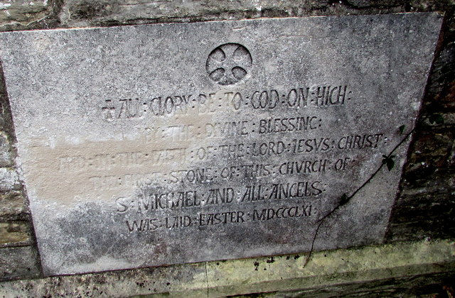
Heritage
Moderate match
Religious grounds — local heritage
Trails nearby
Within roughly 5 km🚶Walking
11 signed routes nearby · 3 public paths nearby
Signed route nearbyPublic paths
Walking
Yar River TrailWalking route
Isle of Wight Coastal PathWalking route113 km
The Bembridge TrailWalking route
The Culver TrailWalking route
Nunwell TrailWalking route
🚴Cycling
21 signed routes nearby
Signed route nearby
Cycling
Round the Island RouteCycling route
Route 22Cycling route
RSPB Brading MarshesCycling route
Adgestone Quiet RoadsCycling route
Main RouteCycling route1.4 km
Main RouteCycling route412 m
🚵Mountain biking
1 signed route nearby
Signed route nearby
Mountain biking
Chalk Ridge ExtremeMountain bike route
🐴Horse riding
2 public paths nearby
Public paths
Horse riding
Play Lanebridleway · 35 m
Play Lanebridleway · 626 m
Wildlife to spot
Photos
Weather for this location
Loading local forecast…
Nearby places
Useful places within 5 km
Own or manage this place?
Claim this listing to keep details accurate, add photos, and highlight what makes it special — free.
Claim this pageHow was your visit?
How useful was the information on this page?
id: d5b9ee83-4ac8-4f57-96ba-4a5f77fcba5b