Getting here
53.26212, -1.49560
Visiting this summer
Seasonal nature notes and what to look for now
Visiting this summer
Seasonal nature notes and what to look for now
- 🌞Midsummer — early morning visits most comfortable; look for deer fawns in quieter clearings
- 🐕Early mornings are best for dog walks in summer — visit before 9am to avoid the heat and find quieter trails
- 📍Open access throughout summer — no booking required
🌤️ Visiting this summer
- 🌞Midsummer — early morning visits most comfortable; look for deer fawns in quieter clearings
- 🐕Early mornings are best for dog walks in summer — visit before 9am to avoid the heat and find quieter trails
- 📍Open access throughout summer — no booking required
Good to know
- £Free to visit — no entry charge
- 🐕Dogs welcome
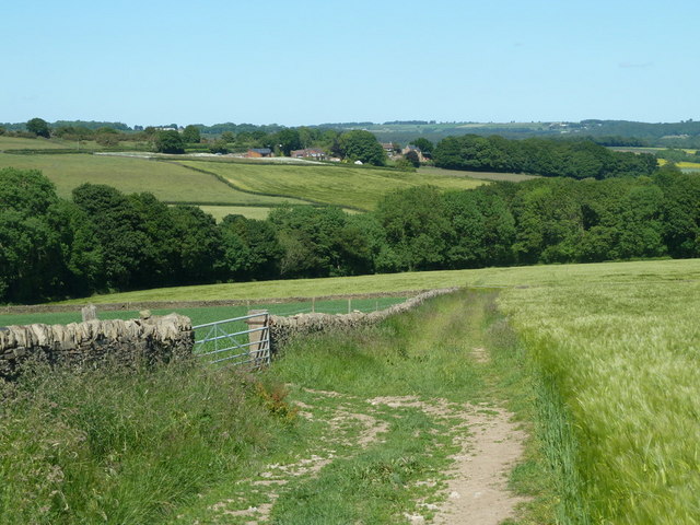
- 🌿Ancient woodland — rare wildlife habitat
Best for
Wildlife
Very strong match
Multi-group wildlife — Birds, Mammals, Reptiles; Multi-group wildlife — Birds, Mammals, Reptiles
Bird watching
Very strong match
Birds — Woodpigeon, Carrion Crow, Robin +69 more · last seen 2026; Birds — Woodpigeon, Carrion Crow, Robin +69 more · last seen 2026
Seasonal nature
Strong match
Ancient woodland — bluebells, fungi and autumn colour; Plants — Bush Vetch, Blackthorn, Pedunculate Oak +23 more · last seen 2025
Dog walks
Strong match
Dogs allowed — public woodland
Foraging
Strong match
Plants — Blackthorn, Pedunculate Oak, Wood-sorrel +6 more foraging species; Deciduous woodland — fungi, berries and wild garlic
Insect spotting
Good match
Insects — Common Blue Damselfly, Syrphus, Marmalade Hoverfly +9 more · last seen 2025; Insects — Common Blue Damselfly, Syrphus, Marmalade Hoverfly +9 more · last seen 2025
Trails nearby
Within roughly 5 km🚶Walking
15 signed routes nearby · 47 public paths nearby
Signed route nearbyPublic paths
Walking
Chesterfield Round WalkWalking route
Cuckoo WayWalking route
South Chesterfield WayWalking route
Trans-Pennine Trail (Staveley to Chesterfield spur)Walking route
Peak District Boundary Walk Stage 11Walking route17 km
Common Lanepublic footpath · 599 m
🚴Cycling
18 signed routes nearby
Signed route nearby
Cycling
Route 5Cycling route
Rother Valley WashlandsCycling route
LCN 3Cycling route
Route 67Cycling route
N/ACycling route548 m
Main RouteCycling route136 m
🐴Horse riding
4 public paths nearby
Public paths
Horse riding
Mellor Lanerestricted byway · 38 m
Common Lanerestricted byway · 45 m
Mellor Lanerestricted byway · 27 m
Mellor Lanerestricted byway · 307 m
Wildlife to spot
Photos
Weather for this location
Loading local forecast…
Nearby places
Useful places within 5 km
Own or manage this place?
Claim this listing to keep details accurate, add photos, and highlight what makes it special — free.
Claim this pageHow was your visit?
How useful was the information on this page?
id: c561e1c8-fd67-41cc-8ee0-22a23493d3c8