Plan your visit
Getting here
52.43716, -1.98548
Visiting this summer
Seasonal nature notes and what to look for now
Visiting this summer
Seasonal nature notes and what to look for now
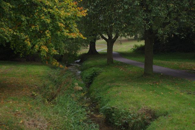
- 🐦72+ species recorded in this area — summer evenings are best for activity; watch for Woodpigeon and Magpie
- ☀️Summer family visits work well here — arrive early and plan for a longer stay
- 🛝Playground on site — built-in entertainment for younger visitors alongside the wider site
🌤️ Visiting this summer
- 🐦72+ species recorded in this area — summer evenings are best for activity; watch for Woodpigeon and Magpie
- ☀️Summer family visits work well here — arrive early and plan for a longer stay
- 🛝Playground on site — built-in entertainment for younger visitors alongside the wider site
Good to know
- £Free to visit — no entry charge
- 🐕Dogs welcome
Best for
Bird watching
Very strong match
Birds — Woodpigeon, Magpie, Carrion Crow +69 more · last seen 2026; Deciduous woodland — woodpeckers, warblers and woodland birds
Wildlife
Strong match
Birds — Woodpigeon, Magpie, Carrion Crow +69 more · last seen 2026; Deciduous woodland priority habitat
Playgrounds
Strong match
playground, parking
Family friendly
Strong match
playground; Urban park — family destination
Dog walks
Strong match
Dogs allowed with public access
Foraging
Good match
Deciduous woodland — fungi, berries and wild garlic
Trails nearby
Within roughly 5 km🚶Walking
27 signed routes nearby · 101 public paths nearby
Signed route nearbyPublic paths
Walking
Monarch's WayWalking route990 km
approximate route of Charles II's escape
Grand Union Canal WalkWalking route234 km
Birmingham to Napton section
The Leasowes Red Walking TrailWalking route3.3 km
Red trail 3.3km – 1 hour 15 minutes. Moderate difficulty with some undulating ground and one short climb. Gravelled paths lead you around the woodland valleys & watercourses.
Matthew Boulton TrailWalking route
Manufacturing & Migration WalkWalking route3 km
Since the Middle Ages, central Birmingham has been subject to constant change. On this walk learn about the latest wave of redevelopment and regeneration. See how the city’s heritage is celebrated in converted old and spectacular new buildings.
Grazebrook Croftpublic footpath · 32 m
Bartley Drivepublic footpath · 131 m
Cole Hollowaypublic footpath · 109 m
🚴Cycling
105 signed routes nearby
Signed route nearby
Cycling
National Cycle Network Route 5Cycling route
Merrits Brook GreenwayCycling route
Rea Valley RouteCycling route
NCN 5 section of Rea Valley Route
[PROPOSED]Starley Regional Cycle NetworkCycling route804 km
Starley (TfWM) Regional Cycle Network (Proposed route)
Route 55Cycling route
Rea Valley RouteCycling route
Wildlife to spot
Photos
Weather for this location
Loading local forecast…
Nearby places
Useful places within 5 km