Birds — Woodpigeon, House Sparrow, Magpie +58 more · last seen 2025; Birds — Woodpigeon, House Sparrow, Magpie +58 more · last seen 2025
Free
🍂
Seasonal nature
Strong match
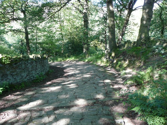
Ancient woodland — bluebells, fungi and autumn colour; Plants — Japanese Knotweed, Red-osier Dogwood, Himalayan Balsam +98 more · last seen 2026
Free
🦋
Insect spotting
Strong match
Insects — Large Yellow Underwing, Lesser Yellow Underwing, Dark Arches +85 more · last seen 2025; Insects — Large Yellow Underwing, Lesser Yellow Underwing, Dark Arches +85 more · last seen 2025
Free
🐶
Dog walks
Strong match
Dogs allowed — public woodland
Free
🌿
Foraging
Good match
Deciduous woodland — fungi, berries and wild garlic; Plants — Bilberry, Sheep's Sorrel, Elder +2 more foraging species
Varies
Trails nearby
Within roughly 5 km
🚶
Walking
▾
9 signed routes nearby · 1 public path nearby
Signed route nearbyPublic paths
Kirklees WayWalking route116 km▾
Named routeLength 116 kmRound tripRegional walking route
Calderdale WayWalking route▾
Named routeRegional walking route
Brighouse Boundary WalkWalking route29 km▾
Named routeLength 29 kmRound tripLocal walking route
Riverside WayWalking route▾
Named routeLocal walking route
Holme Valley Circular WalkWalking route▾
Named routeLocal walking route
🚴
Cycling
▾
48 signed routes nearby
Signed route nearby
Pennine CyclewayCycling route▾
Named routeRef 68National Cycle Network
Route 66Cycling route▾
Named routeRef 66National Cycle Network
Route 69Cycling route▾
Named routeRef 69National Cycle Network
West Yorkshire Cycle RouteCycling route▾
Named routeRef WYCRRegional cycle route
Main RouteCycling route964 m▾
Named routeRef 68Length 964 mNational Cycle NetworkOn-roadSurface asphalt
Main RouteCycling route771 m▾
Named routeRef 68Length 771 mNational Cycle NetworkOn-roadSurface asphalt
🐴
Horse riding
▾
20 public paths nearby
Public paths
Hall Lanerestricted byway · 520 m▾
Public pathrestricted bywayLength 520 mSurface unpavedPath type: unclassified
Shaw Lanebridleway · 119 m▾
Public pathbridlewayLength 119 mSurface gravelPath type: bridleway
Shaw Lanebridleway · 10 m▾
Public pathbridlewayLength 10 mPath type: bridleway
Shaw Lanebridleway · 47 m▾
Public pathbridlewayLength 47 mSurface settPath type: bridleway
Shaw Lanebridleway · 303 m▾
Public pathbridlewayLength 303 mSurface unpavedPath type: unclassified