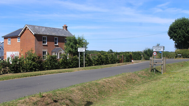
Getting here
51.31214, -1.14871
Visiting this summer
Seasonal nature notes and what to look for now
Visiting this summer
Seasonal nature notes and what to look for now
- 🌞Midsummer — early morning visits most comfortable; look for deer fawns in quieter clearings
- 🐕Early mornings are best for dog walks in summer — visit before 9am to avoid the heat and find quieter trails
- 🅿️Parking 63m away — 2 car parks within reach
🌤️ Visiting this summer
- 🌞Midsummer — early morning visits most comfortable; look for deer fawns in quieter clearings
- 🐕Early mornings are best for dog walks in summer — visit before 9am to avoid the heat and find quieter trails
- 🅿️Parking 63m away — 2 car parks within reach
Good to know
- £Free to visit — no entry charge
- 🐕Dogs welcome
- 🌿Ancient woodland — rare wildlife habitat
Best for
Wildlife
Very strong match
Multi-group wildlife — Amphibians, Birds, Mammals; Multi-group wildlife — Amphibians, Birds, Mammals
Bird watching
Very strong match
Birds — Blue Tit, Blackbird, Robin +72 more · last seen 2026; Birds — Blue Tit, Blackbird, Robin +72 more · last seen 2026
Seasonal nature
Strong match
Ancient woodland — bluebells, fungi and autumn colour; Plants — Crescent-cup Liverwort · last seen 2025
Insect spotting
Strong match
Insects — Gatekeeper, Small White, Red Admiral +62 more · last seen 2025; Insects — Gatekeeper, Small White, Red Admiral +62 more · last seen 2025
Dog walks
Strong match
Dogs allowed — public woodland
Foraging
Good match
Deciduous woodland — fungi, berries and wild garlic
Trails nearby
Within roughly 5 km🚶Walking
13 signed routes nearby · 13 public paths nearby
Signed route nearbyPublic paths
Walking
Wayfarers WalkWalking route
Walbury Hill, Berkshire to Emsworth, Hampshire
red trailWalking route
Silchester TrailWalking route
The Roman WayWalking route274.5 km
Wetlands WalkWalking route
Temporarily closed (frequent flooding, repairs due in Spring 2026)
Tubb's Lanepublic footpath · 31 m
Tubb's Lanepublic footpath · 351 m
Tubb's Lanepublic footpath · 76 m
🚴Cycling
6 signed routes nearby
Signed route nearby
Cycling
National Cycle Route 23Cycling route
Calleva TrailCycling route
Basingstoke Strategic Cycle NetworkCycling route
Alencon Link Accessibility ImprovementsCycling route
Main RouteCycling route1.5 km
Main RouteCycling route4 km
🚵Mountain biking
5 signed routes nearby
Signed route nearby
Mountain biking
Basingstoke Off-Road Cycle TrailMountain bike route
Basing WoodMountain bike route
Watership Down Off-Road Cycle TrailMountain bike route
Pamber Forest BridlewayMountain bike route
Cycling Discoveries in North HampshireMountain bike route
Wildlife to spot
Photos
Weather for this location
Loading local forecast…
Nearby places
Useful places within 5 km
Own or manage this place?
Claim this listing to keep details accurate, add photos, and highlight what makes it special — free.
Claim this pageHow was your visit?
How useful was the information on this page?
id: 9e250d6d-3616-44e0-a4d6-96b6368f4bb9