Getting here
50.40150, -3.61575
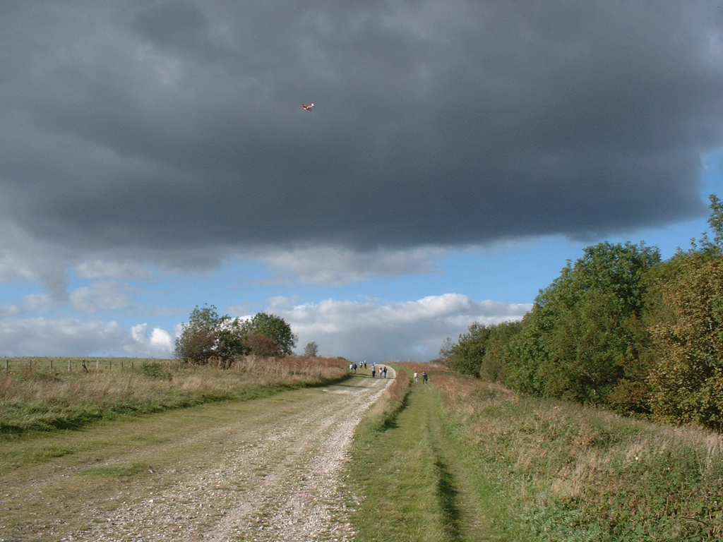
Visiting this summer
Seasonal nature notes and what to look for now
Visiting this summer
Seasonal nature notes and what to look for now
- 🌞Midsummer — early morning visits most comfortable; look for deer fawns in quieter clearings
- 🌿Foraging is at its best in summer here
- 🐕Dogs welcome — bring water in summer; the site has enough space to find shade on hot days
🌤️ Visiting this summer
- 🌞Midsummer — early morning visits most comfortable; look for deer fawns in quieter clearings
- 🌿Foraging is at its best in summer here
- 🐕Dogs welcome — bring water in summer; the site has enough space to find shade on hot days
Good to know
- £Free to visit — no entry charge
- 🐕Dogs welcome
Best for
Bird watching
Very strong match
Mudflats — internationally important for wading birds and wildfowl
Wildlife
Strong match
Mudflats priority habitat
Foraging
Good match
Deciduous woodland — fungi, berries and wild garlic
Insect spotting
Good match
Semi-improved grassland — butterflies and wildflowers
Forest walks
Moderate match
Public woodland
Trails nearby
Within roughly 5 km🚶Walking
8 signed routes nearby · 5 public paths nearby
Signed route nearbyPublic paths
Walking
John Musgrave Heritage TrailWalking route
Torbay Totnes Trail (3T)Walking route
Greenway WalkWalking route
South West Coast Path (Section 42: Brixham to Babbacombe)Walking route
Dart Valley TrailWalking route
Duncannon Lanepublic footpath · 397 m
Long Rydonpublic footpath · 72 m
Long Rydonpublic footpath · 26 m
🚴Cycling
18 signed routes nearby
Signed route nearby
Cycling
Route 28Cycling route
Main RouteCycling route248 m
Main RouteCycling route25 m
Main RouteCycling route33 m
Main RouteCycling route73 m
Main RouteCycling route148 m
Wildlife to spot
Photos
Weather for this location
Loading local forecast…
Nearby places
Useful places within 5 km
Own or manage this place?
Claim this listing to keep details accurate, add photos, and highlight what makes it special — free.
Claim this pageHow was your visit?
How useful was the information on this page?
id: f88113b4-478a-4f30-b914-444774f89ef7