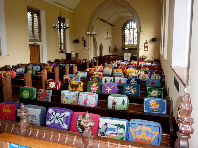
St Andrew's Church
Getting here
51.99056, 1.21043
Visiting this summer
Seasonal nature notes and what to look for now
Visiting this summer
Seasonal nature notes and what to look for now
- 🌞Midsummer — early morning visits most comfortable; look for deer fawns in quieter clearings
- 🐕Early mornings are best for dog walks in summer — visit before 9am to avoid the heat and find quieter trails
- 📍Open access throughout summer — no booking required
🌤️ Visiting this summer
- 🌞Midsummer — early morning visits most comfortable; look for deer fawns in quieter clearings
- 🐕Early mornings are best for dog walks in summer — visit before 9am to avoid the heat and find quieter trails
- 📍Open access throughout summer — no booking required
Good to know
- £Free to visit — no entry charge
- 🐕Dogs welcome
Best for
Wildlife
Very strong match
Multi-group wildlife — Birds, Mammals, Reptiles; Multi-group wildlife — Birds, Mammals, Reptiles
Bird watching
Very strong match
Birds — Wigeon, Black-tailed Godwit, Pintail +93 more · last seen 2026; Birds — Wigeon, Black-tailed Godwit, Pintail +93 more · last seen 2026
Seasonal nature
Strong match
Plants — Scorpion Weed, Yellow Archangel, Radish +77 more · last seen 2026; Plants — Scorpion Weed, Yellow Archangel, Radish +77 more · last seen 2026
Dog walks
Good match
Dogs allowed with public access
Insect spotting
Good match
Insects — Common Red Soldier Beetle, Stag Beetle, Dryophilocoris (Dryophilocoris) flavoquadrimaculatus +14 more · last seen 2025; Insects — Common Red Soldier Beetle, Stag Beetle, Dryophilocoris (Dryophilocoris) flavoquadrimaculatus +14 more · last seen 2025
Foraging
Good match
Plants — Alexanders, Elder, Blackthorn +5 more foraging species
Trails nearby
Within roughly 5 km🚶Walking
4 signed routes nearby · 7 public paths nearby
Signed route nearbyPublic paths
Walking
King Charles III England Coast Path: East: Shotley Gate to Felixstowe FerryWalking route
Pin Mill Nature Walk, Pin MillWalking route3.2 km
Circular walk, mostly easy walking on grassy and sandy paths. Steps along the route and one steep slope to descend between points 4 and 5. Be aware of high tides along the foreshore at point 6, where an alternate path is recommended when the route is impa
Stour & Orwell WalkWalking route
Essex Way (Stratford St Mary to Ramsey)Walking route
Hill Farm Lanepublic footpath · 99 m
🚴Cycling
42 signed routes nearby
Signed route nearby
Cycling
NCN 51Cycling route
South Suffolk Route BCycling route
Felixstowe - WoodbridgeCycling route
Alton Water LoopCycling route
EuroVelo 2 - Capitals Route - part United Kingdom 8Cycling route
Route 4ACycling route
🐴Horse riding
4 public paths nearby
Public paths
Horse riding
Church Lanebridleway · 238 m
Church Lanebridleway · 87 m
Rectory Fieldbridleway · 249 m
Church Lanebridleway · 286 m
Wildlife to spot
Photos
Weather for this location
Loading local forecast…
Nearby places
Useful places within 5 km
Own or manage this place?
Claim this listing to keep details accurate, add photos, and highlight what makes it special — free.
Claim this pageHow was your visit?
How useful was the information on this page?
id: 5945ea30-534f-4e5c-b2b2-2245ddcda54d