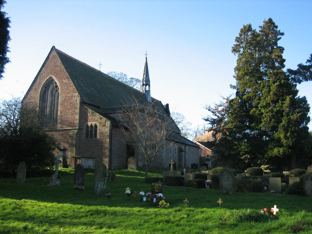
St Andrew's Church
Getting here
52.75792, -2.38151
Visiting this summer
Seasonal nature notes and what to look for now
Visiting this summer
Seasonal nature notes and what to look for now
- 🐦68+ species recorded in this area — summer evenings are best for activity; watch for Robin and Blue Tit
- ☀️Summer family visits work well here — arrive early and plan for a longer stay
- 🛝Playground 232m away — built-in entertainment for younger visitors alongside the wider site
🌤️ Visiting this summer
- 🐦68+ species recorded in this area — summer evenings are best for activity; watch for Robin and Blue Tit
- ☀️Summer family visits work well here — arrive early and plan for a longer stay
- 🛝Playground 232m away — built-in entertainment for younger visitors alongside the wider site
Good to know
- £Free to visit — no entry charge
- 🐕Dogs welcome
Best for
Bird watching
Very strong match
Birds — Robin, Blue Tit, House Sparrow +65 more · last seen 2026; Birds — Robin, Blue Tit, House Sparrow +65 more · last seen 2026
Wildlife
Very strong match
Multi-group wildlife — Birds, Mammals; Multi-group wildlife — Birds, Mammals
Playgrounds
Strong match
playground
Insect spotting
Strong match
Insects — 7-spot Ladybird, Pine Ladybird, Rhyzobius chrysomeloides +35 more · last seen 2026; Insects — 7-spot Ladybird, Pine Ladybird, Rhyzobius chrysomeloides +35 more · last seen 2026
Family friendly
Good match
playground
Dog walks
Good match
Dogs allowed with public access
Trails nearby
Within roughly 5 km🚶Walking
2 signed routes nearby
Signed route nearby
Walking
Telford T50Walking route50 km
The T50 Trail links parks, woods, nature reserves, and historic sites across Telford, starting and ending at Town Park. It’s easily accessible from estates and bus routes, with key points at Ironbridge, The Wrekin, Lilleshall Hill, and Granville Park.
The Way for the MillenniumWalking route65 km
Newport to Burton on Trent
🚴Cycling
41 signed routes nearby
Signed route nearby
Cycling
NCN 552Cycling route
Telford Strategic Cycling NetworkCycling route
Route 55Cycling route
Main RouteCycling route7 m
Main RouteCycling route825 m
Main RouteCycling route3.9 km
Wildlife to spot
Photos
Weather for this location
Loading local forecast…
Nearby places
Useful places within 5 km
Own or manage this place?
Claim this listing to keep details accurate, add photos, and highlight what makes it special — free.
Claim this pageHow was your visit?
How useful was the information on this page?
id: 6e360faa-ae40-4ab9-a2de-783f2cfccb42