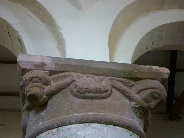
St Andrew's Church
Getting here
54.48212, -2.41813
Visiting this summer
Seasonal nature notes and what to look for now
Visiting this summer
Seasonal nature notes and what to look for now
- 🌞Midsummer — early morning visits most comfortable; look for deer fawns in quieter clearings
- 🌿Foraging is at its best in summer here
- 🐕Dogs welcome — bring water in summer; the site has enough space to find shade on hot days
🌤️ Visiting this summer
- 🌞Midsummer — early morning visits most comfortable; look for deer fawns in quieter clearings
- 🌿Foraging is at its best in summer here
- 🐕Dogs welcome — bring water in summer; the site has enough space to find shade on hot days
Good to know
- £Free to visit — no entry charge
- 🐕Dogs welcome
Best for
Wildlife
Very strong match
Multi-group wildlife — Amphibians, Birds, Mammals, Reptiles; Multi-group wildlife — Amphibians, Birds, Mammals, Reptiles
Bird watching
Very strong match
Birds — Chaffinch, Robin, Carrion Crow +59 more · last seen 2025; Birds — Chaffinch, Robin, Carrion Crow +59 more · last seen 2025
Insect spotting
Strong match
Insects — Speckled Wood, Green-veined White, Small White +162 more · last seen 2025; Insects — Speckled Wood, Green-veined White, Small White +162 more · last seen 2025
Seasonal nature
Strong match
Plants — Stone Bramble, Wood Crane's-bill, Herb-Paris +59 more · last seen 2025; Plants — Stone Bramble, Wood Crane's-bill, Herb-Paris +59 more · last seen 2025
Foraging
Good match
Plants — Stone Bramble, Raspberry, Ramsons +6 more foraging species
Dog walks
Good match
Dogs allowed with public access
Trails nearby
Within roughly 5 km🚶Walking
3 signed routes nearby · 17 public paths nearby
Signed route nearbyPublic paths
Walking
Dales High WayWalking route145 km
Runs from Saltaire (West Yorkshire) to Appleby-in-Westmorland (Cumbria) roughly following route of Settle and Carlisle railway
Coast to Coast Walk (Shap to Richmond)Walking route
Lady Anne's WayWalking route160 km
The route was inspired by the indomitable Lady Anne Clifford, who owned vast estates in the old county of Westmorland during the seventeenth century. The route is in the area she traveled and highlights a several castles she renovated.
🚴Cycling
14 signed routes nearby
Signed route nearby
Cycling
Walney to Wear Cycle RouteCycling route
Pennine CyclewayCycling route
Lakes & Dales LoopCycling route
Main RouteCycling route91 m
Main RouteCycling route1.5 km
Main RouteCycling route4.8 km
🚵Mountain biking
1 signed route nearby
Signed route nearby
Mountain biking
Great North Trail (Yorkshire Dales)Mountain bike route172.2 km
🐴Horse riding
11 public paths nearby
Public paths
Horse riding
Station Roadbridleway · 133 m
Wildlife to spot
Photos
Weather for this location
Loading local forecast…
Nearby places
Useful places within 5 km
Own or manage this place?
Claim this listing to keep details accurate, add photos, and highlight what makes it special — free.
Claim this pageHow was your visit?
How useful was the information on this page?
id: ad1694f0-ace7-4c10-ac1c-1d03aaeea02a