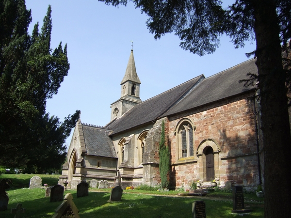
St Calixtus's Church
Getting here
52.56315, -2.43147
Visiting this summer
Seasonal nature notes and what to look for now
Visiting this summer
Seasonal nature notes and what to look for now
- 🌞Midsummer — early morning visits most comfortable; look for deer fawns in quieter clearings
- 🚴Start cycling visits early on summer days — trails are best before the heat builds via Mercian Way
- 🐕Dogs welcome — bring water in summer; the site has enough space to find shade on hot days
🌤️ Visiting this summer
- 🌞Midsummer — early morning visits most comfortable; look for deer fawns in quieter clearings
- 🚴Start cycling visits early on summer days — trails are best before the heat builds via Mercian Way
- 🐕Dogs welcome — bring water in summer; the site has enough space to find shade on hot days
Good to know
- £Free to visit — no entry charge
- 🐕Dogs welcome
Best for
Wildlife
Very strong match
Multi-group wildlife — Amphibians, Birds, Mammals, Reptiles; Multi-group wildlife — Amphibians, Birds, Mammals, Reptiles
Bird watching
Very strong match
Birds — Goldfinch, Blue Tit, Blackbird +65 more · last seen 2026; Birds — Goldfinch, Blue Tit, Blackbird +65 more · last seen 2026
Insect spotting
Strong match
Insects — Harlequin Ladybird, 7-spot Ladybird, 14-spot Ladybird +27 more · last seen 2025; Insects — Harlequin Ladybird, 7-spot Ladybird, 14-spot Ladybird +27 more · last seen 2025
Cycling
Good match
Named cycling route nearby: Mercian Way
Dog walks
Good match
Dogs allowed with public access
Seasonal nature
Good match
Plants — Primrose, False Oxlip, Sweet Violet +1 more · last seen 2025; Plants — Primrose, False Oxlip, Sweet Violet +1 more · last seen 2025
Trails nearby
Within roughly 5 km🚶Walking
3 signed routes nearby
Signed route nearby
Walking
Monarch's WayWalking route990 km
approximate route of Charles II's escape
Severn Way (2) Shrewsbury to WorcesterWalking route93 km
Geopark WayWalking route175 km
🚴Cycling
5 signed routes nearby
Signed route nearby
Cycling
Mercian WayCycling route
Main RouteCycling route5.6 km
Main RouteCycling route94 m
Main RouteCycling route2.1 km
N/ACycling route436 m
Wildlife to spot
Photos
Weather for this location
Loading local forecast…
Nearby places
Useful places within 5 km
Own or manage this place?
Claim this listing to keep details accurate, add photos, and highlight what makes it special — free.
Claim this pageHow was your visit?
How useful was the information on this page?
id: b54dc84c-eeb6-4d53-a896-bddd072c92a3