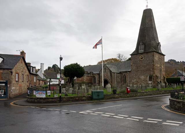
St Dubricius's Church
Plan your visit
Getting here
51.20831, -3.59566
Visiting this summer
Seasonal nature notes and what to look for now
Visiting this summer
Seasonal nature notes and what to look for now
- 🐦92+ species recorded in this area — summer evenings are best for activity; watch for Woodpigeon and Herring Gull
- ☀️Summer family visits work well here — arrive early and plan for a longer stay
- ⛺Camping available here — summer nights at this site are worth planning around
🌤️ Visiting this summer
- 🐦92+ species recorded in this area — summer evenings are best for activity; watch for Woodpigeon and Herring Gull
- ☀️Summer family visits work well here — arrive early and plan for a longer stay
- ⛺Camping available here — summer nights at this site are worth planning around
Good to know
- £Free to visit — no entry charge
- 🐕Dogs welcome
Best for
Family friendly
Very strong match
playground, café, toilets
Playgrounds
Very strong match
playground, toilets, café, parking
Bird watching
Very strong match
Birds — Woodpigeon, Herring Gull, Carrion Crow +89 more · last seen 2025
Heritage
Very strong match
Grade I listed building: CHURCH OF ST DUBRICIUS; Religious grounds — local heritage
Picnic day out
Strong match
café, toilets, car park
Wildlife
Strong match
Birds — Woodpigeon, Herring Gull, Carrion Crow +89 more · last seen 2025
Trails nearby
Within roughly 5 km🚶Walking
13 signed routes nearby · 21 public paths nearby
Signed route nearbyPublic paths
Walking
Selworthy Circular Pink Route, Holnicote EstateWalking route
Selworthy and Bury Castle circular walkWalking route4.8 km
Webber's Post wanderWalking route1.6 km
Bossington Circular Pink Route, Holnicote EstateWalking route
Horner Wood ancient trees walkWalking route3.2 km
Hacketty Waypublic footpath · 215 m
Coach Roadpublic footpath · 71 m
Toll Roadpublic footpath · 121 m
🚴Cycling
19 signed routes nearby
Signed route nearby
Cycling
Regional Route 51Cycling route
N/ACycling route504 m
N/ACycling route597 m
N/ACycling route1.4 km
N/ACycling route2.1 km
N/ACycling route891 m
🐴Horse riding
6 public paths nearby
Public paths
Horse riding
Mill Lanebridleway · 141 m
Wildlife to spot
Photos
Weather for this location
Loading local forecast…
Nearby places
Useful places within 5 km