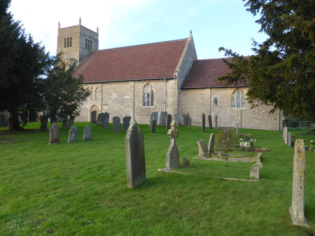
St Edmund's Church
Getting here
52.14641, -2.13804
Visiting this summer
Seasonal nature notes and what to look for now
Visiting this summer
Seasonal nature notes and what to look for now
- 🌞Midsummer — early morning visits most comfortable; look for deer fawns in quieter clearings
- 🐕Early mornings are best for dog walks in summer — visit before 9am to avoid the heat and find quieter trails
- 🅿️Parking 102m away — 2 car parks within reach
🌤️ Visiting this summer
- 🌞Midsummer — early morning visits most comfortable; look for deer fawns in quieter clearings
- 🐕Early mornings are best for dog walks in summer — visit before 9am to avoid the heat and find quieter trails
- 🅿️Parking 102m away — 2 car parks within reach
Good to know
- £Free to visit — no entry charge
- 🐕Dogs welcome
Best for
Wildlife
Very strong match
Multi-group wildlife — Amphibians, Birds, Mammals, Reptiles; Multi-group wildlife — Amphibians, Birds, Mammals, Reptiles
Bird watching
Strong match
Birds — Jackdaw, Blackbird, Jay +21 more · last seen 2023; Birds — Jackdaw, Blackbird, Jay +21 more · last seen 2023
Insect spotting
Strong match
Insects — Meadow Brown, Small White, Speckled Wood +66 more · last seen 2025; Insects — Meadow Brown, Small White, Speckled Wood +66 more · last seen 2025
Dog walks
Good match
Dogs allowed with public access
Hiking
Good match
Named hiking route nearby: Millennium Way (Warks)
Heritage
Moderate match
Religious grounds — local heritage
Trails nearby
Within roughly 5 km🚶Walking
11 signed routes nearby · 38 public paths nearby
Signed route nearbyPublic paths
Walking
Shakespeare's Avon WayWalking route142 km
From the source at Naseby, Northamptonshire to the Severn at Tewkesbury
Millennium Way (Warks)Walking route100 km
A 100 mile long distance footpath, across the centre of England from Pershore to Chipping Warden via Meriden.
Worcester Woods Meadows TrailWalking route
Worcester Woods Woodland TrailWalking route
Wild About Worcester WayWalking route
Boxbush Drivepublic footpath · 26 m
Church Lanepublic footpath · 42 m
Church Lanepublic footpath · 58 m
🚴Cycling
54 signed routes nearby
Signed route nearby
Cycling
Mercian WayCycling route
Kempsey Norton LoopCycling route13.5 km
Crowle - Tibberton Cycle Leisure RouteCycling route12 km
Starting at Worcester Woods Countryside Centre and heading out to Kempsey. A 12 mile route with alternatives to shorten it to 8 miles. The route covers a mixture of quiet lanes and bridleways.
Route (442)Cycling route
Cotswold Line Cycle RouteCycling route
Pershore railway station cycle routeCycling route
Wildlife to spot
Photos
Weather for this location
Loading local forecast…
Nearby places
Useful places within 5 km
Own or manage this place?
Claim this listing to keep details accurate, add photos, and highlight what makes it special — free.
Claim this pageHow was your visit?
How useful was the information on this page?
id: 3776695c-4a02-4880-a894-7e2adddc8e5d