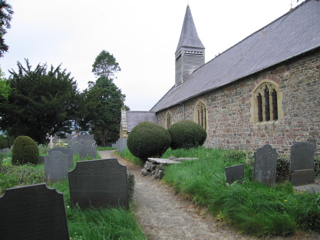
St Gwynog's Church
Getting here
52.53340, -3.44296
Visiting this summer
Seasonal nature notes and what to look for now
Visiting this summer
Seasonal nature notes and what to look for now
- 🐦68+ species recorded in this area — summer evenings are best for activity; watch for Woodcock and Dipper
- 🐕Early mornings are best for dog walks in summer — visit before 9am to avoid the heat and find quieter trails
- 📍Open access throughout summer — no booking required
🌤️ Visiting this summer
- 🐦68+ species recorded in this area — summer evenings are best for activity; watch for Woodcock and Dipper
- 🐕Early mornings are best for dog walks in summer — visit before 9am to avoid the heat and find quieter trails
- 📍Open access throughout summer — no booking required
Good to know
- £Free to visit — no entry charge
- 🐕Dogs welcome
Best for
Bird watching
Very strong match
Birds — Woodcock, Dipper, Sand Martin +65 more · last seen 2025; Birds — Woodcock, Dipper, Sand Martin +65 more · last seen 2025
Wildlife
Very strong match
Multi-group wildlife — Birds, Mammals; Multi-group wildlife — Birds, Mammals
Insect spotting
Strong match
Insects — Hydropsychidae, Siphonoperla torrentium, Sericostoma personatum +73 more · last seen 2022; Insects — Hydropsychidae, Siphonoperla torrentium, Sericostoma personatum +73 more · last seen 2022
Dog walks
Good match
Dogs allowed with public access
Seasonal nature
Good match
Plants — Lamiastrum galeobdolon subsp. montanum, Giant Hogweed, Lesser Celandine +6 more · last seen 2021; Plants — Lamiastrum galeobdolon subsp. montanum, Giant Hogweed, Lesser Celandine +6 more · last seen 2021
Mountain biking
Good match
Named MTB route nearby: Dragon's Tail
Trails nearby
Within roughly 5 km🚶Walking
1 signed route nearby
Signed route nearby
Walking
Severn Way (1) Source to ShrewsburyWalking route116 km
🚴Cycling
11 signed routes nearby
Signed route nearby
Cycling
Route 81Cycling route
Main RouteCycling route4.1 km
Main RouteCycling route34 m
Main RouteCycling route215 m
Main RouteCycling route156 m
Main RouteCycling route553 m
🚵Mountain biking
5 signed routes nearby
Signed route nearby
Mountain biking
Scorcher!Mountain bike route
Helfare HighwayMountain bike route
FreerideMountain bike route
The OutsiderMountain bike route
Dragon's TailMountain bike route
Wildlife to spot
Photos
Weather for this location
Loading local forecast…
Nearby places
Useful places within 5 km
Own or manage this place?
Claim this listing to keep details accurate, add photos, and highlight what makes it special — free.
Claim this pageHow was your visit?
How useful was the information on this page?
id: 11ef9d0e-be99-42a2-9867-2d842e63840c