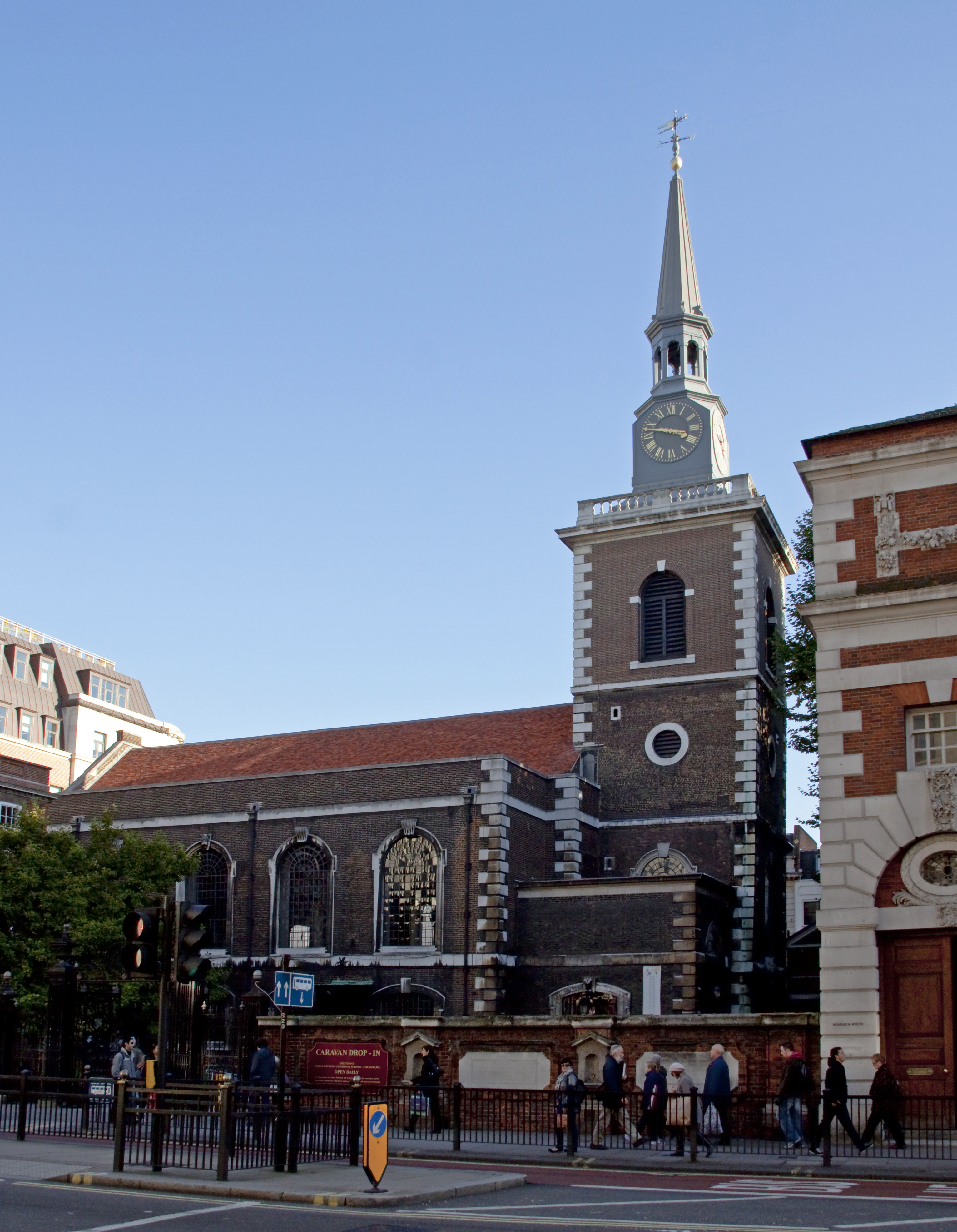
St James's Church
Plan your visit
Getting here
51.77853, -1.43039
Visiting this summer
Seasonal nature notes and what to look for now
Visiting this summer
Seasonal nature notes and what to look for now
- 🌞Midsummer — early morning visits most comfortable; look for deer fawns in quieter clearings
- 🚴Start cycling visits early on summer days — trails are best before the heat builds via Route 57
- 🐕Dogs welcome — bring water in summer; the site has enough space to find shade on hot days
🌤️ Visiting this summer
- 🌞Midsummer — early morning visits most comfortable; look for deer fawns in quieter clearings
- 🚴Start cycling visits early on summer days — trails are best before the heat builds via Route 57
- 🐕Dogs welcome — bring water in summer; the site has enough space to find shade on hot days
Good to know
- £Free to visit — no entry charge
- 🐕Dogs welcome
Best for
Wildlife
Very strong match
Multi-group wildlife — Amphibians, Birds, Mammals; Multi-group wildlife — Amphibians, Birds, Mammals
Bird watching
Very strong match
Birds — Coot, Tufted Duck, Great Crested Grebe +89 more · last seen 2026; Birds — Coot, Tufted Duck, Great Crested Grebe +89 more · last seen 2026
Insect spotting
Strong match
Insects — Common Darter, Common Blue Damselfly, Lesser Emperor +22 more · last seen 2025; Insects — Common Darter, Common Blue Damselfly, Lesser Emperor +22 more · last seen 2025
Cycling
Good match
Named cycling route nearby: Route 57
Dog walks
Good match
Dogs allowed with public access
Heritage
Moderate match
Religious grounds — local heritage
Trails nearby
Within roughly 5 km🚶Walking
4 signed routes nearby · 1 public path nearby
Signed route nearbyPublic paths
Walking
Oxford Green Belt WayWalking route87 km
Wychwood WayWalking route59.5 km
Windrush PathWalking route
Thames PathWalking route296 km
🚴Cycling
7 signed routes nearby
Signed route nearby
Cycling
Cotswold Line Cycle Route (under development)Cycling route
A40 Cycle PathCycling route
Route 57Cycling route
Cotswold Line Cycle RouteCycling route
Witney to Long Hanborough Cycle PathCycling route
Main RouteCycling route2.9 km
🐴Horse riding
1 public path nearby
Public paths
Horse riding
Bonds Lanerestricted byway · 838 m
Wildlife to spot
Photos
Weather for this location
Loading local forecast…
Nearby places
Useful places within 5 km
Own or manage this place?
Claim this listing to keep details accurate, add photos, and highlight what makes it special — free.
Claim this pageHow was your visit?
How useful was the information on this page?
id: 2f9aa3d3-fee9-4629-9f23-69e3c799d16e