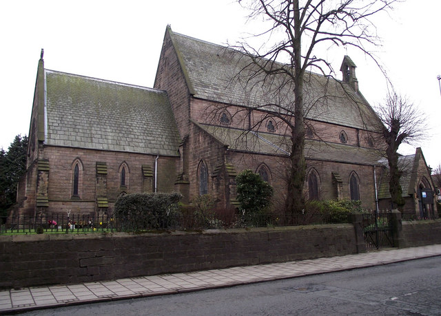
St James's Church
Getting here
53.16431, -2.22035
Visiting this summer
Seasonal nature notes and what to look for now
Visiting this summer
Seasonal nature notes and what to look for now
- 🐦77+ species recorded in this area — summer evenings are best for activity; watch for Woodpigeon and Robin
- ☀️Summer family visits work well here — arrive early and plan for a longer stay
- ☕Top Nosh — makes this an easy full-day family visit without needing to pack food
🌤️ Visiting this summer
- 🐦77+ species recorded in this area — summer evenings are best for activity; watch for Woodpigeon and Robin
- ☀️Summer family visits work well here — arrive early and plan for a longer stay
- ☕Top Nosh — makes this an easy full-day family visit without needing to pack food
Good to know
- £Free to visit — no entry charge
- 🐕Dogs welcome
Best for
Bird watching
Very strong match
Birds — Woodpigeon, Robin, Mallard +74 more · last seen 2026; Birds — Woodpigeon, Robin, Mallard +74 more · last seen 2026
Wildlife
Very strong match
Multi-group wildlife — Birds, Mammals; Multi-group wildlife — Birds, Mammals
Insect spotting
Strong match
Insects — Eristalis pertinax, Syrphus, Harlequin Ladybird +19 more · last seen 2026; Insects — Eristalis pertinax, Syrphus, Harlequin Ladybird +19 more · last seen 2026
Family friendly
Good match
café
Dog walks
Good match
Dogs allowed with public access
Cycling
Good match
Named cycling route nearby: Route 573
Trails nearby
Within roughly 5 km🚶Walking
11 signed routes nearby · 11 public paths nearby
Signed route nearbyPublic paths
Walking
Messuage Lane Nature WalkWalking route
Trent Valley WayWalking route304 km
Cheshire Ring Canal WalkWalking route
Gritstone Trail (Rushton Spencer - Kidsgrove)Walking route
Staffordshire Way (Mow Cop-Rushton Spencer)Walking route
Staffordshire Way, part north - Rushton Spencer
Vale Walkpublic footpath · 108 m
River Dane Walkwaypublic footpath · 212 m
River Dane Walkwaypublic footpath · 290 m
🚴Cycling
59 signed routes nearby
Signed route nearby
Cycling
Cheshire CyclewayCycling route
Route 573Cycling route
Route 71Cycling route
Route 55Cycling route
Main RouteCycling route184 m
Main RouteCycling route114 m
🐴Horse riding
7 public paths nearby
Public paths
Horse riding
John Streetbridleway · 93 m
Wildlife to spot
Photos
Weather for this location
Loading local forecast…
Nearby places
Useful places within 5 km
Own or manage this place?
Claim this listing to keep details accurate, add photos, and highlight what makes it special — free.
Claim this pageHow was your visit?
How useful was the information on this page?
id: 31fb18be-799c-4376-b8b0-2efff34c6bec