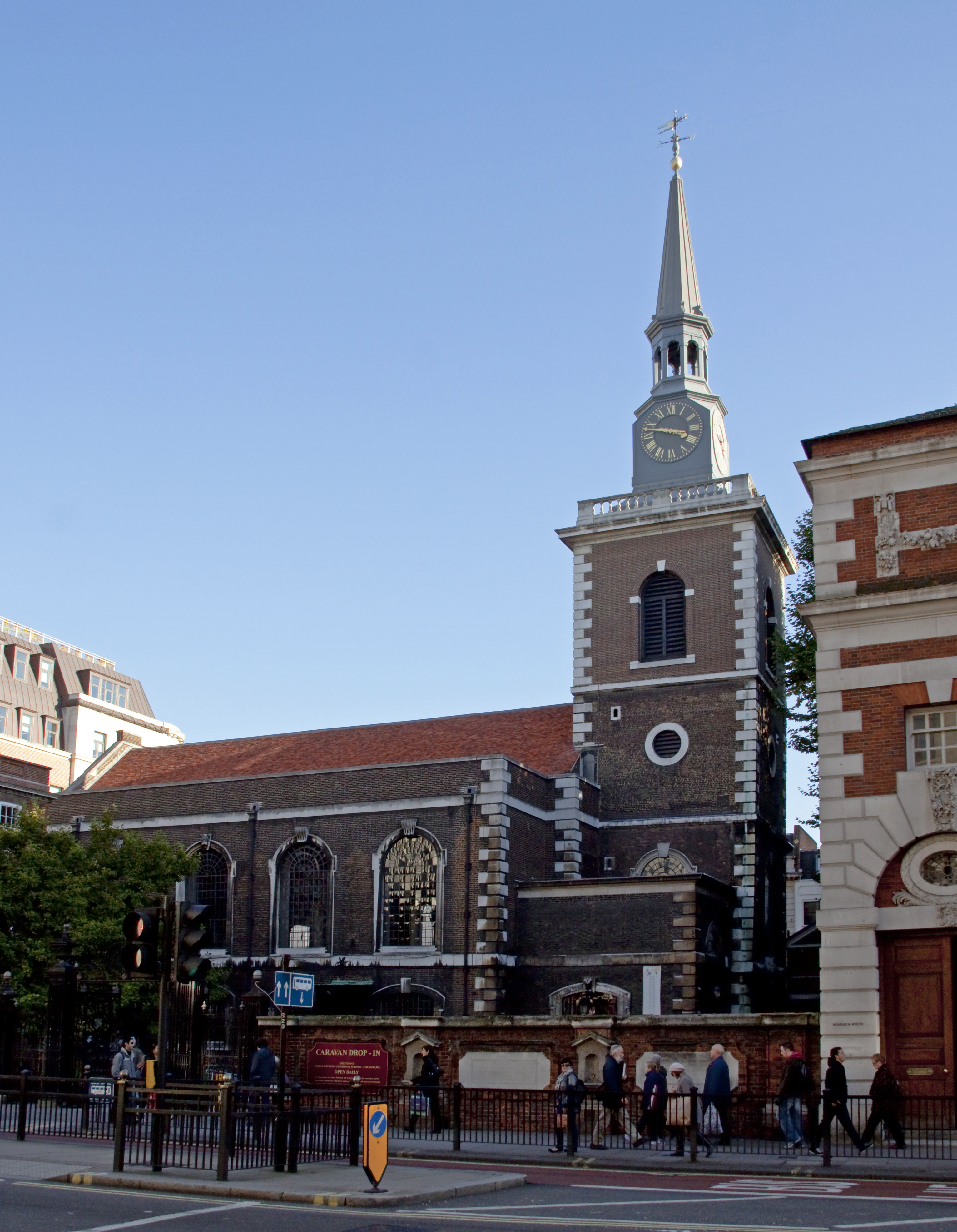
St James's Church
Plan your visit
Getting here
52.46217, 0.55165
Visiting this summer
Seasonal nature notes and what to look for now
Visiting this summer
Seasonal nature notes and what to look for now
- 🐦92+ species recorded in this area — summer evenings are best for activity; watch for Robin and Wren
- ✦Historic character is a year-round quality here — summer brings its own atmosphere to the setting
- 🛝Playground 184m away — built-in entertainment for younger visitors alongside the wider site
🌤️ Visiting this summer
- 🐦92+ species recorded in this area — summer evenings are best for activity; watch for Robin and Wren
- ✦Historic character is a year-round quality here — summer brings its own atmosphere to the setting
- 🛝Playground 184m away — built-in entertainment for younger visitors alongside the wider site
Good to know
- £Free to visit — no entry charge
- 🐕Dogs welcome
Best for
Bird watching
Very strong match
Birds — Robin, Wren, Great Tit +89 more · last seen 2026
Heritage
Very strong match
Grade I listed building: CHURCH OF ST JAMES; Religious grounds — local heritage
Wildlife
Strong match
Birds — Robin, Wren, Great Tit +89 more · last seen 2026
Insect spotting
Strong match
Insects — Marmalade Hoverfly, Field Grasshopper, 7-spot Ladybird +40 more · last seen 2026
Playgrounds
Strong match
playground, parking
Seasonal nature
Strong match
Plants — Sweet Violet, Groundsel, Red Dead-nettle +70 more · last seen 2026
Trails nearby
Within roughly 5 km🚶Walking
14 signed routes nearby
Signed route nearby
Walking
Hereward WayWalking route
Little Ouse PathWalking route9 km
Weeting Village WalkWalking route
The BrecksWalking route
Firecrest TrailWalking route
🚴Cycling
14 signed routes nearby
Signed route nearby
Cycling
Regional Route 30 (alternative)Cycling route
Two Rivers Cycle RouteCycling route
Regional Cycle Route 30Cycling route373 km
N/ACycling route542 m
N/ACycling route869 m
N/ACycling route11 m
🚵Mountain biking
1 signed route nearby
Signed route nearby
Mountain biking
Poacher TrailMountain bike route
🐴Horse riding
4 public paths nearby
Public paths
Horse riding
Moor Drovebyway open to all traffic · 561 m
Nursery Lanebyway open to all traffic · 273 m
Wildlife to spot
Photos
Weather for this location
Loading local forecast…
Nearby places
Useful places within 5 km