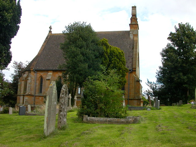
St James's Church
Getting here
52.34050, -0.99136
Visiting this summer
Seasonal nature notes and what to look for now
Visiting this summer
Seasonal nature notes and what to look for now
- 🐦115+ species recorded in this area — summer evenings are best for activity; watch for Snipe and Stonechat
- 🐕Early mornings are best for dog walks in summer — visit before 9am to avoid the heat and find quieter trails
- 🅿️Parking 441m away — 4 car parks within reach
🌤️ Visiting this summer
- 🐦115+ species recorded in this area — summer evenings are best for activity; watch for Snipe and Stonechat
- 🐕Early mornings are best for dog walks in summer — visit before 9am to avoid the heat and find quieter trails
- 🅿️Parking 441m away — 4 car parks within reach
Good to know
- £Free to visit — no entry charge
- 🐕Dogs welcome
Best for
Bird watching
Very strong match
Birds — Snipe, Stonechat, Common Tern +112 more · last seen 2026; Birds — Snipe, Stonechat, Common Tern +112 more · last seen 2026
Wildlife
Strong match
Birds — Snipe, Stonechat, Common Tern +112 more · last seen 2026; Birds — Snipe, Stonechat, Common Tern +112 more · last seen 2026
Dog walks
Good match
Dogs allowed with public access
Insect spotting
Good match
Insects — Azure Damselfly, Common Blue Damselfly, Emperor Dragonfly +14 more · last seen 2025; Insects — Azure Damselfly, Common Blue Damselfly, Emperor Dragonfly +14 more · last seen 2025
Seasonal nature
Good match
Plants — Field Bindweed, Fox-and-cubs, Cow Parsley +1 more · last seen 2025; Plants — Field Bindweed, Fox-and-cubs, Cow Parsley +1 more · last seen 2025
Heritage
Moderate match
Religious grounds — local heritage
Trails nearby
Within roughly 5 km🚶Walking
3 signed routes nearby
Signed route nearby
Walking
Midshires WayWalking route370 km
Multi-use trail links the Ridgeway National Trail with the Trans Pennine Trail
Jurassic WayWalking route142 km
Northamptonshire RoundWalking route
🚴Cycling
12 signed routes nearby
Signed route nearby
Cycling
Brampton Valley WayCycling route
Route 6Cycling route
Main RouteCycling route149 m
Main RouteCycling route191 m
Main RouteCycling route2.6 km
Main RouteCycling route3.4 km
Wildlife to spot
Photos
Weather for this location
Loading local forecast…
Nearby places
Useful places within 5 km
Own or manage this place?
Claim this listing to keep details accurate, add photos, and highlight what makes it special — free.
Claim this pageHow was your visit?
How useful was the information on this page?
id: afd82bce-32a5-4d43-9a45-79b33f0ab988