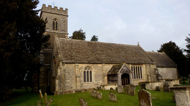
St John the Baptist's Church
Getting here
51.83251, -2.33919
Visiting this summer
Seasonal nature notes and what to look for now
Visiting this summer
Seasonal nature notes and what to look for now
- 🐦92+ species recorded in this area — summer evenings are best for activity; watch for Stonechat and Kestrel
- 🐕Early mornings are best for dog walks in summer — visit before 9am to avoid the heat and find quieter trails
- 📍Open access throughout summer — no booking required
🌤️ Visiting this summer
- 🐦92+ species recorded in this area — summer evenings are best for activity; watch for Stonechat and Kestrel
- 🐕Early mornings are best for dog walks in summer — visit before 9am to avoid the heat and find quieter trails
- 📍Open access throughout summer — no booking required
Good to know
- £Free to visit — no entry charge
- 🐕Dogs welcome
Best for
Bird watching
Very strong match
Birds — Stonechat, Kestrel, Skylark +89 more · last seen 2026; Birds — Stonechat, Kestrel, Skylark +89 more · last seen 2026
Wildlife
Very strong match
Multi-group wildlife — Birds, Mammals; Multi-group wildlife — Birds, Mammals
Dog walks
Good match
Dogs allowed with public access
Heritage
Moderate match
Religious grounds — local heritage
Trails nearby
Within roughly 5 km🚶Walking
8 signed routes nearby · 6 public paths nearby
Signed route nearbyPublic paths
Walking
Gloucestershire WayWalking route161 km
Wysis WayWalking route88.5 km
Long distance footpath forming a link between the Thames and the Wye
Geopark WayWalking route175 km
Glevum WayWalking route42 km
A circular path around Gloucester passing through a varied landscape of river plain and limestone hillsides
Three Choirs Way (Gloucester to Kilcot)Walking route
A route between Gloucester, Hereford and Worcester with a theme linked to the music festival celebrated annually in the three Cathedrals.
🚴Cycling
28 signed routes nearby
Signed route nearby
Cycling
Mercian WayCycling route
Route 41Cycling route
National Cycle Network Route 42Cycling route
Main RouteCycling route47 m
Main RouteCycling route32 m
Alternative RouteCycling route236 m
🐴Horse riding
1 public path nearby
Public paths
Horse riding
No named routes yet. Public paths are shown on the map.
Wildlife to spot
Photos
Weather for this location
Loading local forecast…
Nearby places
Useful places within 5 km
Own or manage this place?
Claim this listing to keep details accurate, add photos, and highlight what makes it special — free.
Claim this pageHow was your visit?
How useful was the information on this page?
id: b01cb964-c79b-4ed8-9819-6a95a5ba1775