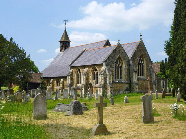
St John's Church
Getting here
51.16963, -0.64667
Visiting this summer
Seasonal nature notes and what to look for now
Visiting this summer
Seasonal nature notes and what to look for now
- 🌞Midsummer — early morning visits most comfortable; look for deer fawns in quieter clearings
- ☀️Summer family visits work well here — arrive early and plan for a longer stay
- 🛝Playground on site — built-in entertainment for younger visitors alongside the wider site
🌤️ Visiting this summer
- 🌞Midsummer — early morning visits most comfortable; look for deer fawns in quieter clearings
- ☀️Summer family visits work well here — arrive early and plan for a longer stay
- 🛝Playground on site — built-in entertainment for younger visitors alongside the wider site
Good to know
- £Free to visit — no entry charge
- 🐕Dogs welcome
Best for
Wildlife
Very strong match
Multi-group wildlife — Amphibians, Birds, Mammals, Reptiles; Multi-group wildlife — Amphibians, Birds, Mammals, Reptiles
Bird watching
Very strong match
Birds — Blackbird, Robin, Blue Tit +74 more · last seen 2026; Birds — Blackbird, Robin, Blue Tit +74 more · last seen 2026
Playgrounds
Strong match
playground, parking
Family friendly
Strong match
playground
Insect spotting
Strong match
Insects — Meadow Brown, Purple Hairstreak, Brimstone +44 more · last seen 2026; Insects — Meadow Brown, Purple Hairstreak, Brimstone +44 more · last seen 2026
Dog walks
Good match
Dogs allowed with public access
Trails nearby
Within roughly 5 km🚶Walking
11 signed routes nearby · 8 public paths nearby
Signed route nearbyPublic paths
Walking
Greensand WayWalking route
Boathouse Route, WinkworthWalking route1.5 km
A shorter route on a wider path, staying on the flatter parts of the upper arboretum.
Nature Trail, HindheadWalking route1.3 km
Heathland Hike, HindheadWalking route8 km
A gentle stroll around the tranquil Witley and Milford Commons. Dry sandy paths weave through different habitats across the commons. Walk clockwise clockwise from the car park for best experience. Dogs welcome (leads during nesting season: 1 Mar-31 Jul)
The Fox WayWalking route
Lower Manor Roadpublic footpath · 162 m
Church Closepublic footpath · 48 m
Oak Tree Roadpublic footpath · 165 m
🚴Cycling
7 signed routes nearby
Signed route nearby
Cycling
A3 Cycle RouteCycling route
Surrey CyclewayCycling route
Farnham link
Route 22Cycling route
Surrey CyclewayCycling route
Cycle route consisting of main loop plus link routes
Main RouteCycling route752 m
Main RouteCycling route440 m
🚵Mountain biking
4 signed routes nearby
Signed route nearby
Mountain biking
Cycle Surrey Hills - Elstead LoopMountain bike route
King Alfred's WayMountain bike route
King Alfreds Way is 350km (220 miles) off road route designed to be ridden clockwise. It starts & ends in Winchester. It is suitable for gravel or cross-country bikes.
Devils PunchBowl LoopMountain bike route
Cycle Surrey Hills - Puttenham LoopMountain bike route
Wildlife to spot
Photos
Weather for this location
Loading local forecast…
Nearby places
Useful places within 5 km
Own or manage this place?
Claim this listing to keep details accurate, add photos, and highlight what makes it special — free.
Claim this pageHow was your visit?
How useful was the information on this page?
id: 1f4f496b-dd2a-400d-92e9-30e60cb09a72