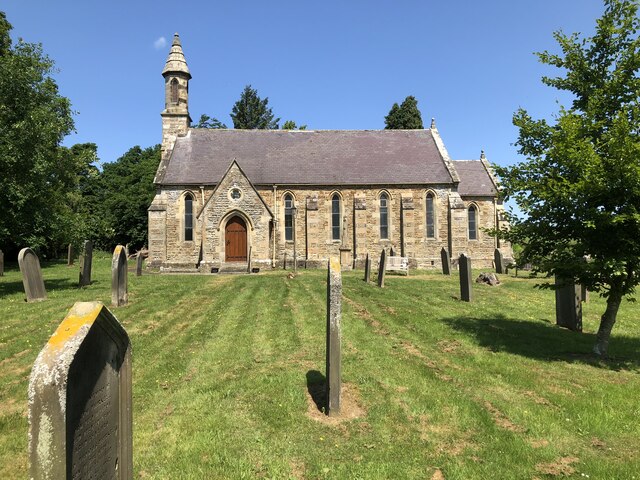
St John's Church
Getting here
54.62983, -1.86036
Visiting this summer
Seasonal nature notes and what to look for now
Visiting this summer
Seasonal nature notes and what to look for now
- 🌞Midsummer — early morning visits most comfortable; look for deer fawns in quieter clearings
- 🐕Early mornings are best for dog walks in summer — visit before 9am to avoid the heat and find quieter trails
- 📍Open access throughout summer — no booking required
🌤️ Visiting this summer
- 🌞Midsummer — early morning visits most comfortable; look for deer fawns in quieter clearings
- 🐕Early mornings are best for dog walks in summer — visit before 9am to avoid the heat and find quieter trails
- 📍Open access throughout summer — no booking required
Good to know
- £Free to visit — no entry charge
- 🐕Dogs welcome
Best for
Wildlife
Very strong match
Multi-group wildlife — Birds, Mammals, Reptiles; Multi-group wildlife — Birds, Mammals, Reptiles
Bird watching
Very strong match
Birds — Blackbird, Goldfinch, Chaffinch +52 more · last seen 2025; Birds — Blackbird, Goldfinch, Chaffinch +52 more · last seen 2025
Insect spotting
Strong match
Insects — Orange-tip, Speckled Wood, Small White +49 more · last seen 2025; Insects — Orange-tip, Speckled Wood, Small White +49 more · last seen 2025
Dog walks
Good match
Dogs allowed with public access
Seasonal nature
Good match
Plants — Broad-leaved Everlasting-pea, Heath Speedwell, Meadow Vetchling +8 more · last seen 2023; Plants — Broad-leaved Everlasting-pea, Heath Speedwell, Meadow Vetchling +8 more · last seen 2023
Foraging
Good match
Plants — Red Dead-nettle, Barren Strawberry, Water Mint
Trails nearby
Within roughly 5 km🚶Walking
7 signed routes nearby · 12 public paths nearby
Signed route nearbyPublic paths
Walking
Weardale WayWalking route124 km
Spurlswood WalkWalking route7.2 km
Tree WalkWalking route
Three Becks WalkWalking route7.2 km
Bedburn Valley WalkWalking route4 km
🚴Cycling
10 signed routes nearby
Signed route nearby
Cycling
Walney to Wear Cycle RouteCycling route
Former NCN 70 around Barnard CastleCycling route
National Byway (County Durham and Northumberland)Cycling route
The National Byway route through County Durham and Northumberland
Main RouteCycling route36 m
Main RouteCycling route3.3 km
Main RouteCycling route2.9 km
🚵Mountain biking
5 signed routes nearby
Signed route nearby
Mountain biking
Red route (difficult)Mountain bike route23.5 km
Black (Severe)Mountain bike route13 km
The LoopMountain bike route
Blue route (moderate)Mountain bike route14.5 km
Hamsterley Common CircuitMountain bike route38 km
Wildlife to spot
Photos
Weather for this location
Loading local forecast…
Nearby places
Useful places within 5 km
Own or manage this place?
Claim this listing to keep details accurate, add photos, and highlight what makes it special — free.
Claim this pageHow was your visit?
How useful was the information on this page?
id: c220917c-5bf8-45dc-b76f-c16845d13324