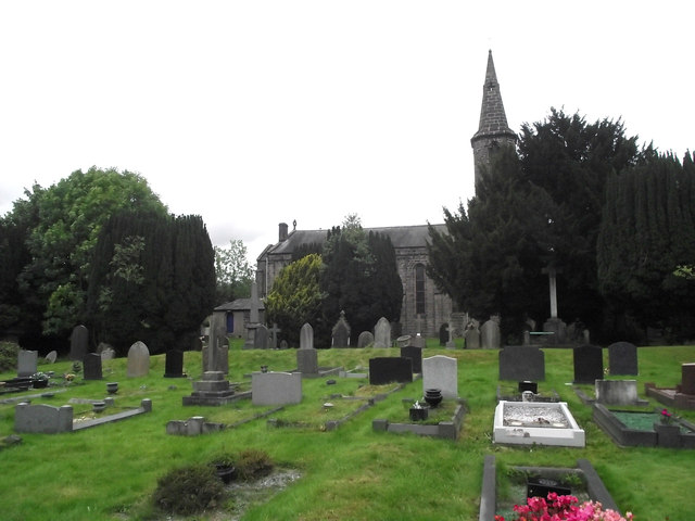
St John's Church
Getting here
53.17018, -2.19625
Visiting this summer
Seasonal nature notes and what to look for now
Visiting this summer
Seasonal nature notes and what to look for now
- 🌞Midsummer — early morning visits most comfortable; look for deer fawns in quieter clearings
- ☀️Summer family visits work well here — arrive early and plan for a longer stay
- 🛝Playground 125m away — built-in entertainment for younger visitors alongside the wider site
🌤️ Visiting this summer
- 🌞Midsummer — early morning visits most comfortable; look for deer fawns in quieter clearings
- ☀️Summer family visits work well here — arrive early and plan for a longer stay
- 🛝Playground 125m away — built-in entertainment for younger visitors alongside the wider site
Good to know
- £Free to visit — no entry charge
- 🐕Dogs welcome
Best for
Wildlife
Very strong match
Multi-group wildlife — Amphibians, Birds, Mammals; Multi-group wildlife — Amphibians, Birds, Mammals
Bird watching
Very strong match
Birds — Woodpigeon, Mallard, Robin +75 more · last seen 2026; Birds — Woodpigeon, Mallard, Robin +75 more · last seen 2026
Playgrounds
Strong match
playground, parking
Family friendly
Strong match
playground
Insect spotting
Strong match
Insects — Syrphus, Eristalis pertinax, Harlequin Ladybird +18 more · last seen 2026; Insects — Syrphus, Eristalis pertinax, Harlequin Ladybird +18 more · last seen 2026
Dog walks
Good match
Dogs allowed with public access
Trails nearby
Within roughly 5 km🚶Walking
11 signed routes nearby · 13 public paths nearby
Signed route nearbyPublic paths
Walking
Messuage Lane Nature WalkWalking route
Trent Valley WayWalking route304 km
Cheshire Ring Canal WalkWalking route
Gritstone Trail (Rushton Spencer - Kidsgrove)Walking route
Staffordshire Way (Mow Cop-Rushton Spencer)Walking route
Staffordshire Way, part north - Rushton Spencer
Bailey Crescentpublic footpath · 194 m
Tall Ash Avenuepublic footpath · 74 m
Bailey Crescentpublic footpath · 79 m
🚴Cycling
55 signed routes nearby
Signed route nearby
Cycling
Cheshire CyclewayCycling route
Route 573Cycling route
Route 71Cycling route
Route 55Cycling route
Main RouteCycling route184 m
Main RouteCycling route114 m
🐴Horse riding
13 public paths nearby
Public paths
Horse riding
Bromley Roadbridleway · 25 m
Brookhouse Lanebridleway · 24 m
Bromley Roadbridleway · 9 m
Bromley Roadbridleway · 58 m
Tommys Lanebridleway · 163 m
Wildlife to spot
Photos
Weather for this location
Loading local forecast…
Nearby places
Useful places within 5 km
Own or manage this place?
Claim this listing to keep details accurate, add photos, and highlight what makes it special — free.
Claim this pageHow was your visit?
How useful was the information on this page?
id: ce01e953-ec11-4a49-8c25-49ed1e3a45ee