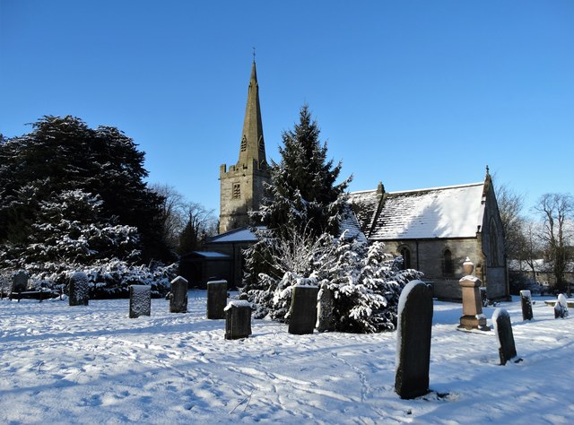
St Leonard's Church
Plan your visit
Getting here
53.19504, -1.77458
Visiting this summer
Seasonal nature notes and what to look for now
Visiting this summer
Seasonal nature notes and what to look for now
- 🐦72+ species recorded in this area — summer evenings are best for activity; watch for Raven and Peregrine
- ☀️Summer family visits work well here — arrive early and plan for a longer stay
- ⛺Camping available here — summer nights at this site are worth planning around
🌤️ Visiting this summer
- 🐦72+ species recorded in this area — summer evenings are best for activity; watch for Raven and Peregrine
- ☀️Summer family visits work well here — arrive early and plan for a longer stay
- ⛺Camping available here — summer nights at this site are worth planning around
Good to know
- £Free to visit — no entry charge
- 🐕Dogs welcome
Best for
Bird watching
Very strong match
Birds — Raven, Peregrine, Jackdaw +69 more · last seen 2025
Playgrounds
Strong match
playground, café, parking
Family friendly
Strong match
playground, café
Wildlife
Strong match
Birds — Raven, Peregrine, Jackdaw +69 more · last seen 2025
Mushroom foraging
Strong match
Fungi — Hazel Woodwart, Salad Burnet Rust, Glue Crust +20 more · last seen 2024
Insect spotting
Strong match
Insects — Green-veined White, Meadow Brown, Small White +47 more · last seen 2025
Trails nearby
Within roughly 5 km🚶Walking
5 signed routes nearby · 21 public paths nearby
Signed route nearbyPublic paths
Walking
Midshires WayWalking route370 km
Multi-use trail links the Ridgeway National Trail with the Trans Pennine Trail
Limestone WayWalking route74 km
Castleton to Rocester
High Peak TrailWalking route27 km
Peak District Boundary Walk Stage 1Walking route
Monsal TrailWalking route
Church Lanepublic footpath · 17 m
Church Lanepublic footpath · 53 m
Naylor Lanepublic footpath · 402 m
🚴Cycling
21 signed routes nearby
Signed route nearby
Cycling
Route 54Cycling route
Pennine Cycleway (on road alternative)Cycling route
Pennine CyclewayCycling route
Monsal TrailCycling route
Route 549Cycling route
Main RouteCycling route2.1 km
🚵Mountain biking
3 signed routes nearby
Signed route nearby
Mountain biking
Tissington TrailMountain bike route
High Peak TrailMountain bike route27 km
Great North Trail (Peak District and South Pennines)Mountain bike route130.4 km
🐴Horse riding
2 public paths nearby
Public paths
Horse riding
Derby Lanebyway open to all traffic · 1.4 km
Derby Lanebyway open to all traffic · 54 m
Wildlife to spot
Photos
Weather for this location
Loading local forecast…
Nearby places
Useful places within 5 km