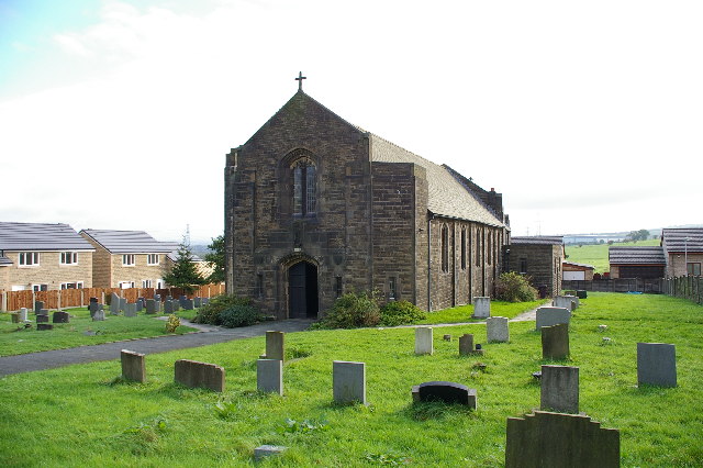
St Margaret's Church
Getting here
53.78018, -2.31673
Visiting this summer
Seasonal nature notes and what to look for now
Visiting this summer
Seasonal nature notes and what to look for now
- 🌞Midsummer — early morning visits most comfortable; look for deer fawns in quieter clearings
- ☀️Summer family visits work well here — arrive early and plan for a longer stay
- 🛝Playground on site — built-in entertainment for younger visitors alongside the wider site
🌤️ Visiting this summer
- 🌞Midsummer — early morning visits most comfortable; look for deer fawns in quieter clearings
- ☀️Summer family visits work well here — arrive early and plan for a longer stay
- 🛝Playground on site — built-in entertainment for younger visitors alongside the wider site
Good to know
- £Free to visit — no entry charge
- 🐕Dogs welcome
Best for
Wildlife
Very strong match
Multi-group wildlife — Amphibians, Birds, Mammals, Reptiles; Multi-group wildlife — Amphibians, Birds, Mammals, Reptiles
Bird watching
Very strong match
Birds — Woodpigeon, Carrion Crow, Magpie +67 more · last seen 2025; Birds — Woodpigeon, Carrion Crow, Magpie +67 more · last seen 2025
Insect spotting
Strong match
Insects — Green-veined White, Small White, Meadow Brown +55 more · last seen 2025; Insects — Green-veined White, Small White, Meadow Brown +55 more · last seen 2025
Seasonal nature
Strong match
Plants — Himalayan Balsam, Common Ragwort, Hawthorn +163 more · last seen 2025; Plants — Himalayan Balsam, Common Ragwort, Hawthorn +163 more · last seen 2025
Playgrounds
Strong match
playground, parking
Foraging
Strong match
Plants — Hawthorn, Common Nettle, Hazel +18 more foraging species
Trails nearby
Within roughly 5 km🚶Walking
7 signed routes nearby · 25 public paths nearby
Signed route nearbyPublic paths
Walking
Mary Towneley LoopWalking route
Forms part of Pennine Bridleway National Trail
Rossendale WayWalking route
A high-level route around Bacup, Rawtenstall, Haslingden and Whitworth in the Rossendale Valley, crossing the open moors and farmland of the South Pennines which roughly follows the Rossendale Borough boundary.
Bronte WayWalking route71 km
Pendle WayWalking route
Burnley WayWalking route
Leigh Parkpublic footpath · 15 m
East Streetpublic footpath · 101 m
Lyndale Roadpublic footpath · 124 m
🚴Cycling
66 signed routes nearby
Signed route nearby
Cycling
Pennine CyclewayCycling route
Route 6Cycling route
Route 604Cycling route
Huncoat GreenwayCycling route
Route 685Cycling route
Sweet Clough GreenwayCycling route
Wildlife to spot
Photos
Weather for this location
Loading local forecast…
Nearby places
Useful places within 5 km
Own or manage this place?
Claim this listing to keep details accurate, add photos, and highlight what makes it special — free.
Claim this pageHow was your visit?
How useful was the information on this page?
id: 191fff4b-f904-4e68-a29f-6ddfad2d0d53