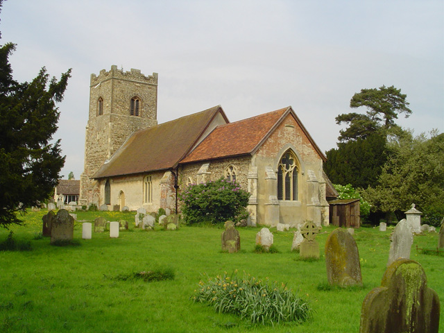
St Mary and St Martin's Church
Getting here
52.00896, 1.32289
Visiting this summer
Seasonal nature notes and what to look for now
Visiting this summer
Seasonal nature notes and what to look for now
- 🐦70+ species recorded in this area — summer evenings are best for activity; watch for Wigeon and Shoveler
- 🐕Early mornings are best for dog walks in summer — visit before 9am to avoid the heat and find quieter trails
- 📍Open access throughout summer — no booking required
🌤️ Visiting this summer
- 🐦70+ species recorded in this area — summer evenings are best for activity; watch for Wigeon and Shoveler
- 🐕Early mornings are best for dog walks in summer — visit before 9am to avoid the heat and find quieter trails
- 📍Open access throughout summer — no booking required
Good to know
- £Free to visit — no entry charge
- 🐕Dogs welcome
Best for
Bird watching
Very strong match
Birds — Wigeon, Shoveler, Pochard +67 more · last seen 2026; Birds — Wigeon, Shoveler, Pochard +67 more · last seen 2026
Wildlife
Very strong match
Multi-group wildlife — Birds, Mammals; Multi-group wildlife — Birds, Mammals
Dog walks
Good match
Dogs allowed with public access
Insect spotting
Good match
Insects — Stag Beetle, Vernal Shieldbug, Zig-zag Elm Sawfly +7 more · last seen 2026; Insects — Stag Beetle, Vernal Shieldbug, Zig-zag Elm Sawfly +7 more · last seen 2026
Seasonal nature
Good match
Plants — Sowbread, Selfheal, Scorpion Weed +1 more · last seen 2025; Plants — Sowbread, Selfheal, Scorpion Weed +1 more · last seen 2025
Heritage
Moderate match
Religious grounds — local heritage
Trails nearby
Within roughly 5 km🚶Walking
2 signed routes nearby · 8 public paths nearby
Signed route nearbyPublic paths
Walking
Suffolk Coast PathWalking route80 km
Stour & Orwell WalkWalking route
Burnt House Lanepublic footpath · 323 m
🚴Cycling
31 signed routes nearby
Signed route nearby
Cycling
NCN 51Cycling route
South Suffolk Route BCycling route
Felixstowe - WoodbridgeCycling route
South Suffolk Route B3Cycling route
Route 41Cycling route
Wolf WayCycling route400 km
🐴Horse riding
2 public paths nearby
Public paths
Horse riding
Drunkard's Lanebridleway · 1.1 km
Wildlife to spot
Photos
Weather for this location
Loading local forecast…
Nearby places
Useful places within 5 km
Own or manage this place?
Claim this listing to keep details accurate, add photos, and highlight what makes it special — free.
Claim this pageHow was your visit?
How useful was the information on this page?
id: f1d766a1-e0f6-4dbf-a2bf-3f658006c346