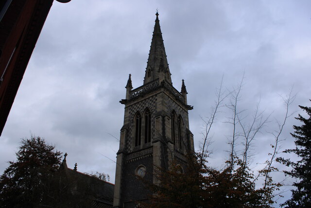
St Mary-le-Tower Church
Getting here
52.05836, 1.15547
Visiting this summer
Seasonal nature notes and what to look for now
Visiting this summer
Seasonal nature notes and what to look for now
- 🌞Midsummer — early morning visits most comfortable; look for deer fawns in quieter clearings
- 🧺Good picnic destination in summer — open space and facilities for a relaxed day out
- ☕Willy's & Milly's Cafe — makes this an easy full-day family visit without needing to pack food
🌤️ Visiting this summer
- 🌞Midsummer — early morning visits most comfortable; look for deer fawns in quieter clearings
- 🧺Good picnic destination in summer — open space and facilities for a relaxed day out
- ☕Willy's & Milly's Cafe — makes this an easy full-day family visit without needing to pack food
Good to know
- £Free to visit — no entry charge
- 🐕Dogs welcome
Best for
Wildlife
Very strong match
Multi-group wildlife — Amphibians, Birds, Mammals, Reptiles; Multi-group wildlife — Amphibians, Birds, Mammals, Reptiles
Bird watching
Very strong match
Birds — Magpie, Robin, Canada Goose +83 more · last seen 2026; Birds — Magpie, Robin, Canada Goose +83 more · last seen 2026
Picnic day out
Strong match
café, toilets, car park
Insect spotting
Strong match
Insects — Large Red Damselfly, Azure Damselfly, Firebug +64 more · last seen 2026; Insects — Large Red Damselfly, Azure Damselfly, Firebug +64 more · last seen 2026
Seasonal nature
Strong match
Plants — Green Alkanet, Red Dead-nettle, Lesser Celandine +61 more · last seen 2026; Plants — Green Alkanet, Red Dead-nettle, Lesser Celandine +61 more · last seen 2026
Family friendly
Strong match
café, toilets
Trails nearby
Within roughly 5 km🚶Walking
8 signed routes nearby · 3 public paths nearby
Signed route nearbyPublic paths
Walking
King Charles III England Coast Path: East: Shotley Gate to Felixstowe FerryWalking route
Sandlings WalkWalking route89 km
Southwold to Rushmere Heath on the outskirts of Ipswich
Stour & Orwell WalkWalking route
Sandlings Walk (St Augustine's route)Walking route
Sandlings Walk (Heath Road route)Walking route
Cox Lanepublic footpath · 52 m
🚴Cycling
190 signed routes nearby
Signed route nearby
Cycling
NCN 51Cycling route
Route 2Cycling route
2ACycling route
Route 10BCycling route
NCN51 Proposed change avoiding Duke Street, IpswichCycling route
Route 4Cycling route
🐴Horse riding
1 public path nearby
Public paths
Horse riding
No named routes yet. Public paths are shown on the map.
Wildlife to spot
Photos
Weather for this location
Loading local forecast…
Nearby places
Useful places within 5 km
Own or manage this place?
Claim this listing to keep details accurate, add photos, and highlight what makes it special — free.
Claim this pageHow was your visit?
How useful was the information on this page?
id: 3e4bebad-f611-4955-9862-9d352d30b50f