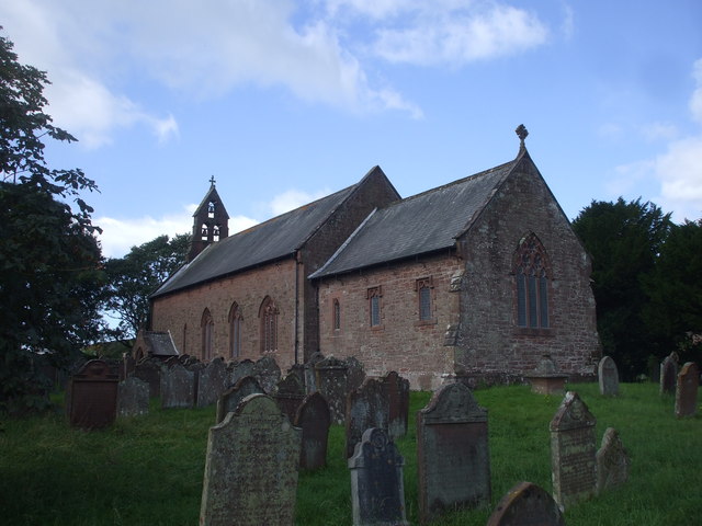
St Mary's Church
Getting here
54.41940, -3.43114
Visiting this summer
Seasonal nature notes and what to look for now
Visiting this summer
Seasonal nature notes and what to look for now
- 🌞Midsummer — early morning visits most comfortable; look for deer fawns in quieter clearings
- 🐕Early mornings are best for dog walks in summer — visit before 9am to avoid the heat and find quieter trails
- 🅿️Parking on site — 12 car parks within reach
🌤️ Visiting this summer
- 🌞Midsummer — early morning visits most comfortable; look for deer fawns in quieter clearings
- 🐕Early mornings are best for dog walks in summer — visit before 9am to avoid the heat and find quieter trails
- 🅿️Parking on site — 12 car parks within reach
Good to know
- £Free to visit — no entry charge
- 🐕Dogs welcome
Best for
Wildlife
Very strong match
Multi-group wildlife — Birds, Mammals; Multi-group wildlife — Birds, Mammals
Bird watching
Strong match
Birds — Blue Tit, Chaffinch, Great Tit +45 more · last seen 2025; Birds — Blue Tit, Chaffinch, Great Tit +45 more · last seen 2025
Dog walks
Good match
Dogs allowed with public access
Cycling
Good match
Named cycling route nearby: Lakes & Dales Loop
Insect spotting
Good match
Insects — Marmalade Hoverfly, Helophilus pendulus, Orchid Beetle · last seen 2025; Insects — Marmalade Hoverfly, Helophilus pendulus, Orchid Beetle · last seen 2025
Seasonal nature
Good match
Plants — Red Dead-nettle, Sycamore, Himalayan Balsam +1 more · last seen 2025; Plants — Red Dead-nettle, Sycamore, Himalayan Balsam +1 more · last seen 2025
Trails nearby
Within roughly 5 km🚶Walking
1 signed route nearby · 12 public paths nearby
Signed route nearbyPublic paths
Walking
King Charles III England Coast Path: Whitehaven to SilecroftWalking route
🚴Cycling
12 signed routes nearby
Signed route nearby
Cycling
Hadrian's CyclewayCycling route
Lakes & Dales LoopCycling route
Main RouteCycling route299 m
Main RouteCycling route708 m
Main RouteCycling route185 m
Main RouteCycling route52 m
Wildlife to spot
Photos
Weather for this location
Loading local forecast…
Nearby places
Useful places within 5 km
Own or manage this place?
Claim this listing to keep details accurate, add photos, and highlight what makes it special — free.
Claim this pageHow was your visit?
How useful was the information on this page?
id: 0e4f3a01-5bbe-439b-9005-d5758b633c95