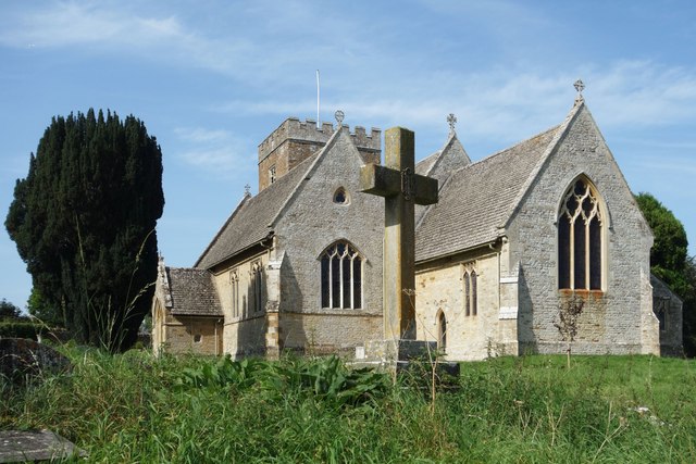
St Mary's Church
Getting here
51.92069, -1.34932
Visiting this summer
Seasonal nature notes and what to look for now
Visiting this summer
Seasonal nature notes and what to look for now
- 🌞Midsummer — early morning visits most comfortable; look for deer fawns in quieter clearings
- 🐕Early mornings are best for dog walks in summer — visit before 9am to avoid the heat and find quieter trails
- 📍Open access throughout summer — no booking required
🌤️ Visiting this summer
- 🌞Midsummer — early morning visits most comfortable; look for deer fawns in quieter clearings
- 🐕Early mornings are best for dog walks in summer — visit before 9am to avoid the heat and find quieter trails
- 📍Open access throughout summer — no booking required
Good to know
- £Free to visit — no entry charge
- 🐕Dogs welcome
Best for
Wildlife
Very strong match
Multi-group wildlife — Amphibians, Birds, Mammals; Multi-group wildlife — Amphibians, Birds, Mammals
Bird watching
Very strong match
Birds — Woodpigeon, Blue Tit, Carrion Crow +88 more · last seen 2025; Birds — Woodpigeon, Blue Tit, Carrion Crow +88 more · last seen 2025
Insect spotting
Strong match
Insects — Meadow Brown, Small White, Painted Lady +41 more · last seen 2025; Insects — Meadow Brown, Small White, Painted Lady +41 more · last seen 2025
Dog walks
Good match
Dogs allowed with public access
Heritage
Moderate match
Religious grounds — local heritage
Trails nearby
Within roughly 5 km🚶Walking
5 signed routes nearby
Signed route nearby
Walking
Oxfordshire WayWalking route110 km
a traverse of Oxfordshire from the Cotswolds to the Chilterns
Shakespeare's WayWalking route235 km
Oxford Canal WalkWalking route
The Roman WayWalking route274.5 km
European walking route E2 west, UK, South East EnglandWalking route
Westroute: Stranraer (UK) - Birminhgham (UK) - Calais (FR) - Zoersel (BE) / Eastroute: Stranraer (UK) - Harwich (UK) - Rotterdam (NL) - Zoersel (BE) / Both Routes: Zoersel (BE) - Maastrich (NL) - Luxembourg (LUX) - Lake Geneva (CH) - Nice (FR)
🚴Cycling
10 signed routes nearby
Signed route nearby
Cycling
National Cycle Network Route 5Cycling route
National Byway (Oxon and Glos)Cycling route
Main RouteCycling route2.2 km
Main RouteCycling route827 m
Main RouteCycling route683 m
Main RouteCycling route632 m
Wildlife to spot
Photos
Weather for this location
Loading local forecast…
Nearby places
Useful places within 5 km
Own or manage this place?
Claim this listing to keep details accurate, add photos, and highlight what makes it special — free.
Claim this pageHow was your visit?
How useful was the information on this page?
id: 10dff0a7-a4fe-45e1-8d07-c57cd26b5519