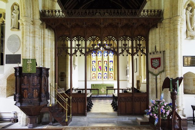
St Mary's Church
Getting here
50.79229, -2.75275
Visiting this summer
Seasonal nature notes and what to look for now
Visiting this summer
Seasonal nature notes and what to look for now
- 🌞Midsummer — early morning visits most comfortable; look for deer fawns in quieter clearings
- 🐕Early mornings are best for dog walks in summer — visit before 9am to avoid the heat and find quieter trails
- 🅿️Parking 82m away — 2 car parks within reach
🌤️ Visiting this summer
- 🌞Midsummer — early morning visits most comfortable; look for deer fawns in quieter clearings
- 🐕Early mornings are best for dog walks in summer — visit before 9am to avoid the heat and find quieter trails
- 🅿️Parking 82m away — 2 car parks within reach
Good to know
- £Free to visit — no entry charge
- 🐕Dogs welcome
Best for
Wildlife
Very strong match
Multi-group wildlife — Amphibians, Birds, Mammals, Reptiles; Multi-group wildlife — Amphibians, Birds, Mammals, Reptiles
Bird watching
Very strong match
Birds — Jackdaw, Robin, Woodpigeon +49 more · last seen 2025; Birds — Jackdaw, Robin, Woodpigeon +49 more · last seen 2025
Insect spotting
Strong match
Insects — Meadow Brown, Speckled Wood, Small White +67 more · last seen 2025; Insects — Meadow Brown, Speckled Wood, Small White +67 more · last seen 2025
Dog walks
Good match
Dogs allowed with public access
Foraging
Good match
Deciduous woodland — fungi, berries and wild garlic
Seasonal nature
Good match
Plants — Himalayan Balsam, Giant Hogweed · last seen 2021; Plants — Himalayan Balsam, Giant Hogweed · last seen 2021
Trails nearby
Within roughly 5 km🚶Walking
3 signed routes nearby · 8 public paths nearby
Signed route nearbyPublic paths
Walking
Monarch's WayWalking route990 km
approximate route of Charles II's escape
Wessex RidgewayWalking route
Jubilee Trail (Dorset)Walking route
W36/63public footpath · 205 m
W36/2public footpath · 7 m
W36/2public footpath · 83 m
🚴Cycling
10 signed routes nearby
Signed route nearby
Cycling
Route 2Cycling route
National Cycle Route 2 Christchurch to Axminster
Main RouteCycling route1.1 km
Main RouteCycling route106 m
Main RouteCycling route1.3 km
Main RouteCycling route1.9 km
Main RouteCycling route546 m
🚵Mountain biking
1 signed route nearby
Signed route nearby
Mountain biking
Wessex Ridgeway TrailMountain bike route
🐴Horse riding
6 public paths nearby
Public paths
Horse riding
Norton Lane (W36/64)bridleway · 424 m
W21/60bridleway · 214 m
W36/64bridleway · 57 m
W36/64bridleway · 18 m
Wildlife to spot
Photos
Weather for this location
Loading local forecast…
Nearby places
Useful places within 5 km
Own or manage this place?
Claim this listing to keep details accurate, add photos, and highlight what makes it special — free.
Claim this pageHow was your visit?
How useful was the information on this page?
id: 47718ab1-055c-4c29-94e9-1dbf61339f79