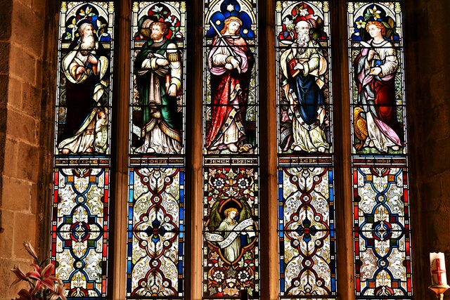
St Mary's Church
Getting here
53.08838, -1.48151
Visiting this summer
Seasonal nature notes and what to look for now
Visiting this summer
Seasonal nature notes and what to look for now
- 🌞Midsummer — early morning visits most comfortable; look for deer fawns in quieter clearings
- 🐕Early mornings are best for dog walks in summer — visit before 9am to avoid the heat and find quieter trails
- 🅿️Parking 270m away — 6 car parks within reach
🌤️ Visiting this summer
- 🌞Midsummer — early morning visits most comfortable; look for deer fawns in quieter clearings
- 🐕Early mornings are best for dog walks in summer — visit before 9am to avoid the heat and find quieter trails
- 🅿️Parking 270m away — 6 car parks within reach
Good to know
- £Free to visit — no entry charge
- 🐕Dogs welcome
Best for
Wildlife
Very strong match
Multi-group wildlife — Amphibians, Birds, Mammals, Reptiles; Multi-group wildlife — Amphibians, Birds, Mammals, Reptiles
Bird watching
Very strong match
Birds — Raven, Hawfinch, Moorhen +69 more · last seen 2025; Birds — Raven, Hawfinch, Moorhen +69 more · last seen 2025
Seasonal nature
Strong match
Plants — Hart's-Tongue, American Skunk-cabbage, Crimson Flax +16 more · last seen 2026; Plants — Hart's-Tongue, American Skunk-cabbage, Crimson Flax +16 more · last seen 2026
Insect spotting
Strong match
Insects — Small White, Speckled Wood, Green-veined White +21 more · last seen 2025; Insects — Small White, Speckled Wood, Green-veined White +21 more · last seen 2025
Dog walks
Good match
Dogs allowed with public access
Hiking
Moderate match
Named hiking route nearby: Amber Valley Routeway Walk 7
Trails nearby
Within roughly 5 km🚶Walking
11 signed routes nearby · 46 public paths nearby
Signed route nearbyPublic paths
Walking
Midshires WayWalking route370 km
Multi-use trail links the Ridgeway National Trail with the Trans Pennine Trail
High Peak TrailWalking route27 km
Derwent Valley Heritage WayWalking route89 km
Amber Valley Routeway Walk 14Walking route
Amber Valley Routeways Walk 12Walking route
The Beechespublic footpath · 50 m
Roe's Courtpublic footpath · 33 m
Stones Lanepublic footpath · 102 m
🚴Cycling
2 signed routes nearby
Signed route nearby
Cycling
Route 54Cycling route
Main RouteCycling route2.6 km
🚵Mountain biking
1 signed route nearby
Signed route nearby
Mountain biking
High Peak TrailMountain bike route27 km
🐴Horse riding
8 public paths nearby
Public paths
Horse riding
Coasthillbridleway · 97 m
Wildlife to spot
Photos
Weather for this location
Loading local forecast…
Nearby places
Useful places within 5 km
Own or manage this place?
Claim this listing to keep details accurate, add photos, and highlight what makes it special — free.
Claim this pageHow was your visit?
How useful was the information on this page?
id: 91d3513c-0732-4874-941b-44cdc5f19eb0