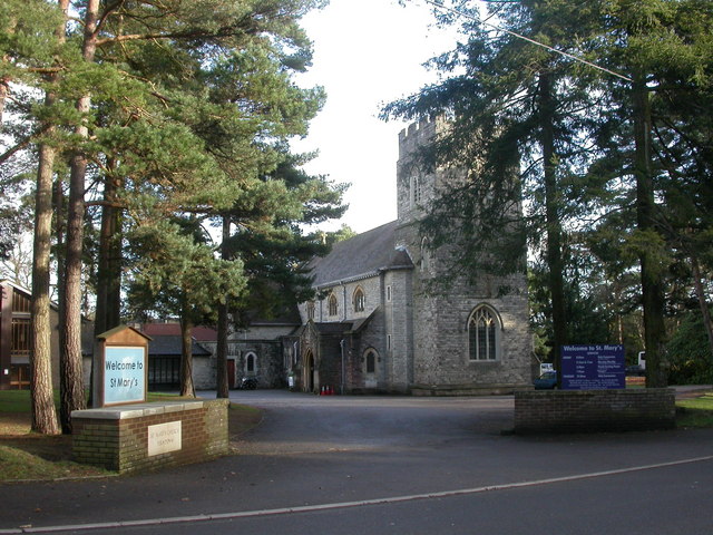
St Mary's Church
Getting here
50.79969, -1.89367
Visiting this summer
Seasonal nature notes and what to look for now
Visiting this summer
Seasonal nature notes and what to look for now
- 🌞Midsummer — early morning visits most comfortable; look for deer fawns in quieter clearings
- 🍄Mushroom foraging is at its best in summer here
- 🐕Dogs welcome — bring water in summer; the site has enough space to find shade on hot days
🌤️ Visiting this summer
- 🌞Midsummer — early morning visits most comfortable; look for deer fawns in quieter clearings
- 🍄Mushroom foraging is at its best in summer here
- 🐕Dogs welcome — bring water in summer; the site has enough space to find shade on hot days
Good to know
- £Free to visit — no entry charge
- 🐕Dogs welcome
Best for
Wildlife
Very strong match
Multi-group wildlife — Amphibians, Birds, Mammals, Reptiles; Multi-group wildlife — Amphibians, Birds, Mammals, Reptiles
Bird watching
Very strong match
Birds — Shoveler, Wigeon, Pochard +93 more · last seen 2026; Birds — Shoveler, Wigeon, Pochard +93 more · last seen 2026
Mushroom foraging
Strong match
Fungi — Amanita Wridog, Amanita'r Gwybed, Butter Cap +51 more · last seen 2025; Fungi — Amanita Wridog, Amanita'r Gwybed, Butter Cap +51 more · last seen 2025
Insect spotting
Strong match
Insects — Small White, Meliscaeva auricollis, Green Tiger Beetle +21 more · last seen 2026; Insects — Small White, Meliscaeva auricollis, Green Tiger Beetle +21 more · last seen 2026
Dog walks
Good match
Dogs allowed with public access
Foraging
Good match
Fungi — Penny Bun, False Chanterelle, Chanterelle
Trails nearby
Within roughly 5 km🚶Walking
5 signed routes nearby · 9 public paths nearby
Signed route nearbyPublic paths
Walking
Ferndown, Stour and Forest TrailWalking route
Kingston Lacy walk at Holt Heath, Kingston LacyWalking route9.6 km
The bridleways and footpaths can become rutted, with the eastern sector in part on elevated ground crossing the important heathland mire. Grazing of animals is part of the management of this rare habitat, so dogs should be kept under effective control. St
Bourne Valley Greenway walkWalking route
Castleman TrailwayWalking route26.5 km
Stour Valley WayWalking route100 km
Brabourne Avenuepublic footpath · 55 m
🚴Cycling
52 signed routes nearby
Signed route nearby
Cycling
University to AlderneyCycling route
Bourne Valley GreenwayCycling route
Francis Avenue to BroadstoneCycling route
Wheelers LaneCycling route
Millhams RoadCycling route
Longfleet Drive - C5Cycling route
Wildlife to spot
Photos
Weather for this location
Loading local forecast…
Nearby places
Useful places within 5 km
Own or manage this place?
Claim this listing to keep details accurate, add photos, and highlight what makes it special — free.
Claim this pageHow was your visit?
How useful was the information on this page?
id: ab1a6423-eecb-4888-b683-d388eced80f4