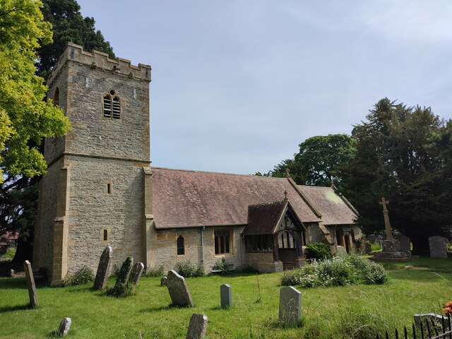
St Michael's Church
Getting here
52.11443, -1.89093
Visiting this summer
Seasonal nature notes and what to look for now
Visiting this summer
Seasonal nature notes and what to look for now
- 🌞Midsummer — early morning visits most comfortable; look for deer fawns in quieter clearings
- ☀️Summer family visits work well here — arrive early and plan for a longer stay
- 🛝Playground on site — built-in entertainment for younger visitors alongside the wider site
🌤️ Visiting this summer
- 🌞Midsummer — early morning visits most comfortable; look for deer fawns in quieter clearings
- ☀️Summer family visits work well here — arrive early and plan for a longer stay
- 🛝Playground on site — built-in entertainment for younger visitors alongside the wider site
Good to know
- £Free to visit — no entry charge
- 🐕Dogs welcome
Best for
Wildlife
Very strong match
Multi-group wildlife — Amphibians, Birds, Mammals; Multi-group wildlife — Amphibians, Birds, Mammals
Bird watching
Strong match
Birds — Wigeon, Goldfinch, Woodpigeon +17 more · last seen 2026; Birds — Wigeon, Goldfinch, Woodpigeon +17 more · last seen 2026
Insect spotting
Strong match
Insects — Large Red Damselfly, Southern Hawker, Green Shieldbug +69 more · last seen 2026; Insects — Large Red Damselfly, Southern Hawker, Green Shieldbug +69 more · last seen 2026
Playgrounds
Strong match
playground, parking
Family friendly
Strong match
playground
Dog walks
Good match
Dogs allowed with public access
Trails nearby
Within roughly 5 km🚶Walking
6 signed routes nearby · 10 public paths nearby
Signed route nearbyPublic paths
Walking
Heart of England WayWalking route
Shakespeare's Avon WayWalking route142 km
From the source at Naseby, Northamptonshire to the Severn at Tewkesbury
Middle Littleton Tithe Barn Walk, Middle LittletonWalking route9.9 km
Circular walk along the River Avon and field paths, country lanes with gates, stiles and bridges. Can be muddy when wet. Walking boots are recommended.
Wychavon WayWalking route67 km
A route from Holt Fleet on the River Severn to Winchcombe in the Cotswolds.
E2 hiking trail BirminghamWalking route
🚴Cycling
13 signed routes nearby
Signed route nearby
Cycling
Route 41Cycling route
Cotswold Line Cycle RouteCycling route
Cotswold Line Cycle Route (under development)Cycling route
Main RouteCycling route573 m
Main RouteCycling route1.4 km
Main RouteCycling route212 m
🐴Horse riding
4 public paths nearby
Public paths
Horse riding
Church Lanebridleway · 83 m
Wildlife to spot
Photos
Weather for this location
Loading local forecast…
Nearby places
Useful places within 5 km
Own or manage this place?
Claim this listing to keep details accurate, add photos, and highlight what makes it special — free.
Claim this pageHow was your visit?
How useful was the information on this page?
id: 639f183e-8afb-44f8-be52-f88097b2a8ef