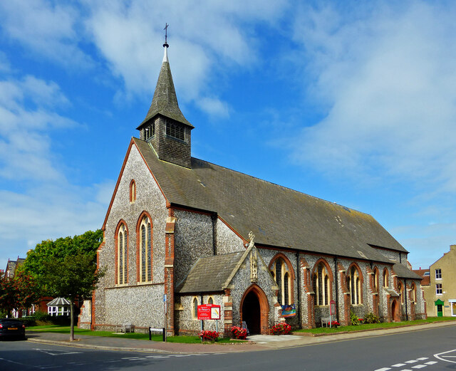
St Peter's Church
Plan your visit
Getting here
52.94309, 1.20869
Visiting this summer
Seasonal nature notes and what to look for now
Visiting this summer
Seasonal nature notes and what to look for now
- 🐦100+ species recorded in this area — summer evenings are best for activity; watch for Turnstone and Black-headed Gull
- ☀️Summer family visits work well here — arrive early and plan for a longer stay
- ☕The Sitting Room — makes this an easy full-day family visit without needing to pack food
🌤️ Visiting this summer
- 🐦100+ species recorded in this area — summer evenings are best for activity; watch for Turnstone and Black-headed Gull
- ☀️Summer family visits work well here — arrive early and plan for a longer stay
- ☕The Sitting Room — makes this an easy full-day family visit without needing to pack food
Good to know
- £Free to visit — no entry charge
- 🐕Dogs welcome
Best for
Family friendly
Very strong match
playground, café, toilets
Playgrounds
Very strong match
playground, toilets, café, parking
Bird watching
Very strong match
Birds — Turnstone, Black-headed Gull, Herring Gull +97 more · last seen 2026
Wildlife
Strong match
Birds — Turnstone, Black-headed Gull, Herring Gull +97 more · last seen 2026
Picnic day out
Strong match
café, toilets, car park
Hiking
Strong match
Named hiking route nearby: King Charles III England Coast Path: Sea Palling to Weybourne; Named hiking route nearby: King Charles III England Coast Path: Sea Palling to Weybourne
Trails nearby
Within roughly 5 km🚶Walking
28 signed routes nearby · 7 public paths nearby
Signed route nearbyPublic paths
Walking
Bittern Line Walk 9Walking route5.5 km
West Runton
Felbrigg CircularWalking route6.8 km
A diverse walk from Cromer through the historic Felbrigg Estate and the wooded hills of East Runton.
Bittern Line Walk 10Walking route8 km
Sheringham
Marble Hill Walk, FelbriggWalking route7.2 km
Undulating with some steep slopes and unsurfaced paths which can be muddy, especially near the lake. Frequent seats, several gates, no stiles. Deep water in lake, lifeline for emergency use.
Great Wood Walk, FelbriggWalking route3.2 km
Undulating with some steep slopes and unsurfaced paths which can be muddy, especially near the lake. Frequent seats, several gates, no stiles. Deep water in lake, lifeline for emergency use.
🚴Cycling
6 signed routes nearby
Signed route nearby
Cycling
Cromer Explorer LoopCycling route
Regional Cycle Route 33Cycling route
Two Rivers Cycle RouteCycling route
Rebellion WayCycling route373 km
Regional Cycle Route 30Cycling route373 km
Mannington Cycle RouteCycling route18 km
Wildlife to spot
Photos
Weather for this location
Loading local forecast…
Nearby places
Useful places within 5 km