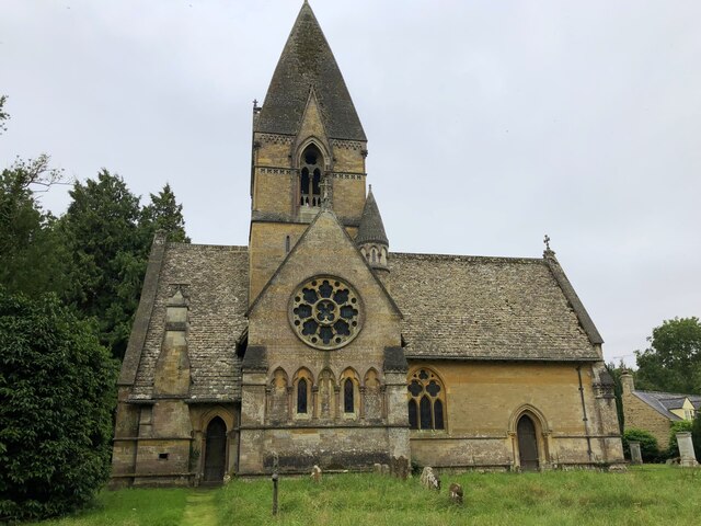
St Peter's Church
Getting here
51.93113, -1.64793
Visiting this summer
Seasonal nature notes and what to look for now
Visiting this summer
Seasonal nature notes and what to look for now
- 🌞Midsummer — early morning visits most comfortable; look for deer fawns in quieter clearings
- 🚴Start cycling visits early on summer days — trails are best before the heat builds via Cotswold Line Cycle Route
- 🐕Dogs welcome — bring water in summer; the site has enough space to find shade on hot days
🌤️ Visiting this summer
- 🌞Midsummer — early morning visits most comfortable; look for deer fawns in quieter clearings
- 🚴Start cycling visits early on summer days — trails are best before the heat builds via Cotswold Line Cycle Route
- 🐕Dogs welcome — bring water in summer; the site has enough space to find shade on hot days
Good to know
- £Free to visit — no entry charge
- 🐕Dogs welcome
Best for
Wildlife
Very strong match
Multi-group wildlife — Amphibians, Birds, Mammals; Multi-group wildlife — Amphibians, Birds, Mammals
Bird watching
Very strong match
Birds — Woodpigeon, Blackbird, Robin +75 more · last seen 2025; Birds — Woodpigeon, Blackbird, Robin +75 more · last seen 2025
Cycling
Good match
Named cycling route nearby: Cotswold Line Cycle Route
Dog walks
Good match
Dogs allowed with public access
Hiking
Good match
Named hiking route nearby: Diamond Way
Insect spotting
Good match
Insects — Polydrusus formosus · last seen 2025; Insects — Polydrusus formosus · last seen 2025
Trails nearby
Within roughly 5 km🚶Walking
9 signed routes nearby · 1 public path nearby
Signed route nearbyPublic paths
Walking
Monarch's WayWalking route990 km
approximate route of Charles II's escape
Oxfordshire WayWalking route110 km
a traverse of Oxfordshire from the Cotswolds to the Chilterns
Shakespeare's WayWalking route235 km
Diamond WayWalking route106 km
Macmillan WayWalking route290 km
🚴Cycling
13 signed routes nearby
Signed route nearby
Cycling
Fosse2Cycling route
Cotswold Line Cycle RouteCycling route
Main RouteCycling route84 m
Main RouteCycling route5.3 km
Main RouteCycling route84 m
Main RouteCycling route225 m
🐴Horse riding
11 public paths nearby
Public paths
Horse riding
No named routes yet. Public paths are shown on the map.
Wildlife to spot
Photos
Weather for this location
Loading local forecast…
Nearby places
Useful places within 5 km
Own or manage this place?
Claim this listing to keep details accurate, add photos, and highlight what makes it special — free.
Claim this pageHow was your visit?
How useful was the information on this page?
id: b6614c4b-b4f4-4054-b523-0b84e0b16303