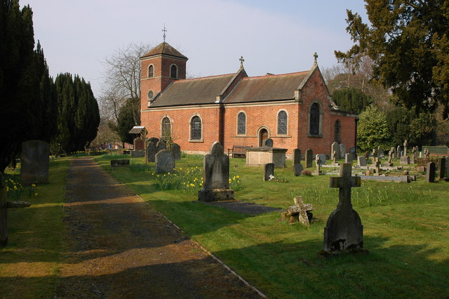
St Peter's Church
Getting here
52.40401, -2.14533
Visiting this summer
Seasonal nature notes and what to look for now
Visiting this summer
Seasonal nature notes and what to look for now
- 🐦73+ species recorded in this area — summer evenings are best for activity; watch for Moorhen and Mallard
- 🐕Early mornings are best for dog walks in summer — visit before 9am to avoid the heat and find quieter trails
- 📍Open access throughout summer — no booking required
🌤️ Visiting this summer
- 🐦73+ species recorded in this area — summer evenings are best for activity; watch for Moorhen and Mallard
- 🐕Early mornings are best for dog walks in summer — visit before 9am to avoid the heat and find quieter trails
- 📍Open access throughout summer — no booking required
Good to know
- £Free to visit — no entry charge
- 🐕Dogs welcome
Best for
Bird watching
Very strong match
Birds — Moorhen, Mallard, Mute Swan +70 more · last seen 2026; Birds — Moorhen, Mallard, Mute Swan +70 more · last seen 2026
Wildlife
Very strong match
Multi-group wildlife — Birds, Mammals; Multi-group wildlife — Birds, Mammals
Dog walks
Good match
Dogs allowed with public access
Insect spotting
Good match
Insects — Speckled Wood, Gatekeeper, Meadow Brown +10 more · last seen 2024; Insects — Speckled Wood, Gatekeeper, Meadow Brown +10 more · last seen 2024
Foraging
Good match
Deciduous woodland — fungi, berries and wild garlic
Heritage
Moderate match
Religious grounds — local heritage
Trails nearby
Within roughly 5 km🚶Walking
10 signed routes nearby · 5 public paths nearby
Signed route nearbyPublic paths
Walking
Monarch's WayWalking route990 km
approximate route of Charles II's escape
North Worcestershire PathWalking route
Royal Hunters Walks - Link to CatshillWalking route
Short Walk, Clent HillsWalking route1.6 km
A wide all-ability path, with compacted gravel and little gradient, suitable for pushchairs and most wheelchairs. The circular route returns via a steeper and slightly more uneven woodland trail.
The Rabbit Trail, Clent HillsWalking route4.3 km
Take in some of Clent Hills best-loved features and viewpoints on the Rabbit Trail. Please be aware the footpaths and terrain is uneven and this walk includes steep inclines and steps.
🚴Cycling
1 signed route nearby
Cycling
Route 54Cycling route
🐴Horse riding
3 public paths nearby
Public paths
Horse riding
No named routes yet. Public paths are shown on the map.
Wildlife to spot
Photos
Weather for this location
Loading local forecast…
Nearby places
Useful places within 5 km
Own or manage this place?
Claim this listing to keep details accurate, add photos, and highlight what makes it special — free.
Claim this pageHow was your visit?
How useful was the information on this page?
id: d883a4ff-09df-4a6b-8fdd-5e58216a9eaf