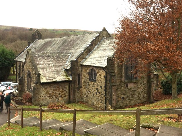
St Philip's Church
Getting here
53.66273, -2.31507
Visiting this summer
Seasonal nature notes and what to look for now
Visiting this summer
Seasonal nature notes and what to look for now
- 🌞Midsummer — early morning visits most comfortable; look for deer fawns in quieter clearings
- 🌿Foraging is at its best in summer here
- 🛝Playground 199m away — built-in entertainment for younger visitors alongside the wider site
🌤️ Visiting this summer
- 🌞Midsummer — early morning visits most comfortable; look for deer fawns in quieter clearings
- 🌿Foraging is at its best in summer here
- 🛝Playground 199m away — built-in entertainment for younger visitors alongside the wider site
Good to know
- £Free to visit — no entry charge
- 🐕Dogs welcome
Best for
Wildlife
Very strong match
Multi-group wildlife — Amphibians, Birds, Mammals; Multi-group wildlife — Amphibians, Birds, Mammals
Bird watching
Very strong match
Birds — Jackdaw, Woodpigeon, Blackbird +53 more · last seen 2026; Birds — Jackdaw, Woodpigeon, Blackbird +53 more · last seen 2026
Seasonal nature
Strong match
Plants — Cranberry, Cross-leaved Heath, Wavy Bitter-cress +109 more · last seen 2026; Plants — Cranberry, Cross-leaved Heath, Wavy Bitter-cress +109 more · last seen 2026
Foraging
Strong match
Plants — Hawthorn, Beech, Common Bistort +16 more foraging species
Playgrounds
Strong match
playground, parking
Family friendly
Strong match
playground
Trails nearby
Within roughly 5 km🚶Walking
7 signed routes nearby · 31 public paths nearby
Signed route nearbyPublic paths
Walking
Warpers Trail - Witton Weavers WayWalking route
Mary Towneley LoopWalking route
Forms part of Pennine Bridleway National Trail
Irwell Sculpture TrailWalking route
Rochdale WayWalking route
Rossendale WayWalking route
A high-level route around Bacup, Rawtenstall, Haslingden and Whitworth in the Rossendale Valley, crossing the open moors and farmland of the South Pennines which roughly follows the Rossendale Borough boundary.
Rosebankpublic footpath · 64 m
Stubbins Vale Roadpublic footpath · 40 m
Rosebankpublic footpath · 30 m
🚴Cycling
60 signed routes nearby
Signed route nearby
Cycling
Route 6Cycling route
Lancashire Cycleway (Southern Loop)Cycling route
Vos Stansfield Road - Cowpe RoadCycling route
Blackburn Rd/Manchester Rd ACLCycling route
Britannia GreenwayCycling route
Kirklees TrailCycling route
Wildlife to spot
Photos
Weather for this location
Loading local forecast…
Nearby places
Useful places within 5 km
Own or manage this place?
Claim this listing to keep details accurate, add photos, and highlight what makes it special — free.
Claim this pageHow was your visit?
How useful was the information on this page?
id: f08aee27-232f-4704-960f-8f816f1f2f10