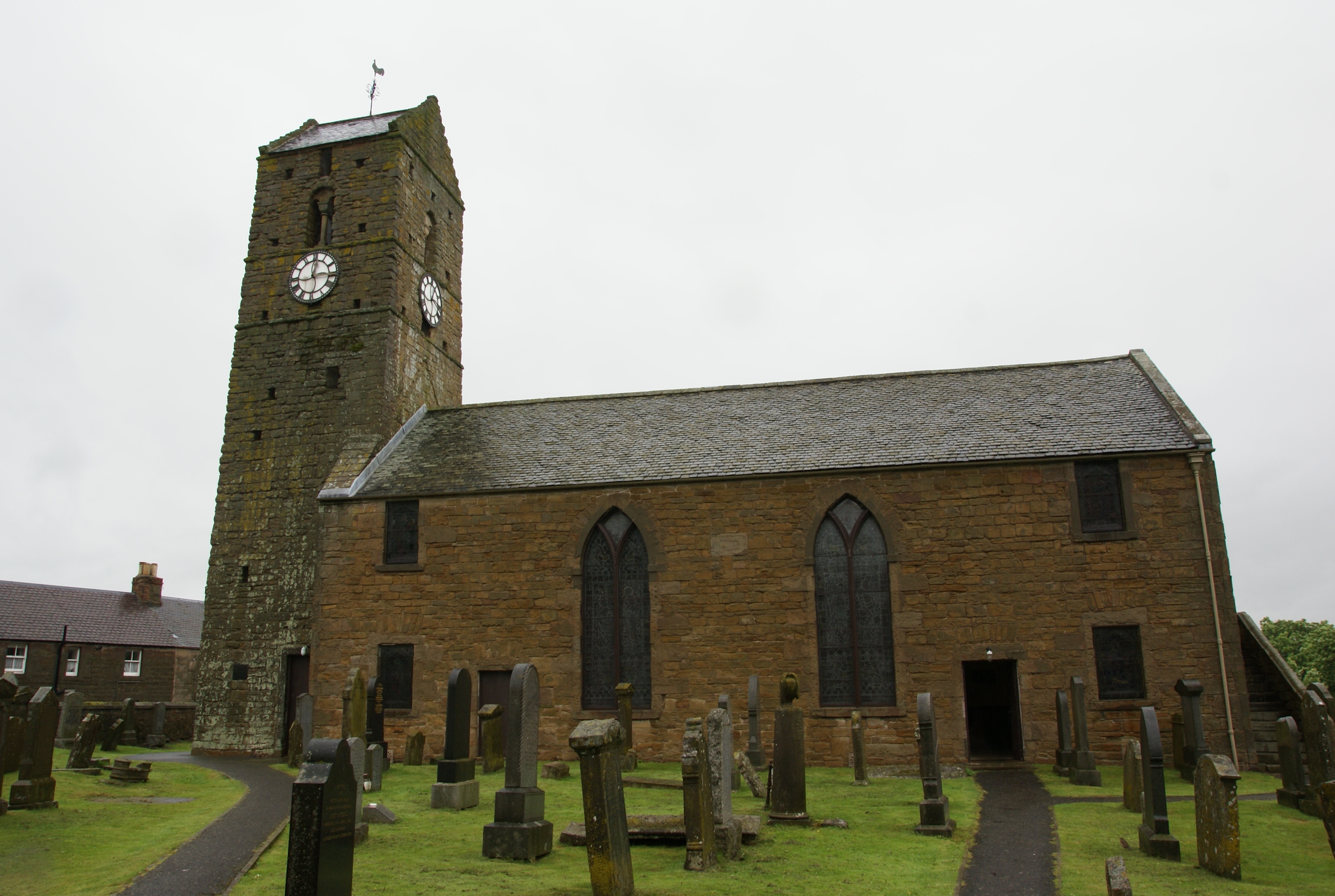
St Serf's Church
Plan your visit
Getting here
56.06112, -3.59789
Visiting this summer
Seasonal nature notes and what to look for now
Visiting this summer
Seasonal nature notes and what to look for now
- 🐦91+ species recorded in this area — summer evenings are best for activity; watch for Carrion Crow and Woodpigeon
- 🧺Good picnic destination in summer — open space and facilities for a relaxed day out
- 🛝Playground 208m away — built-in entertainment for younger visitors alongside the wider site
🌤️ Visiting this summer
- 🐦91+ species recorded in this area — summer evenings are best for activity; watch for Carrion Crow and Woodpigeon
- 🧺Good picnic destination in summer — open space and facilities for a relaxed day out
- 🛝Playground 208m away — built-in entertainment for younger visitors alongside the wider site
Good to know
- £Free to visit — no entry charge
- 🐕Dogs welcome
Best for
Bird watching
Very strong match
Birds — Carrion Crow, Woodpigeon, Robin +88 more · last seen 2026; Birds — Carrion Crow, Woodpigeon, Robin +88 more · last seen 2026
Wildlife
Very strong match
Multi-group wildlife — Birds, Mammals; Multi-group wildlife — Birds, Mammals
Picnic day out
Strong match
picnic area, car park
Family friendly
Strong match
playground, picnic area
Playgrounds
Strong match
playground, parking
Dog walks
Good match
Dogs allowed with public access
Trails nearby
Within roughly 5 km🚶Walking
4 signed routes nearby
Signed route nearby
Walking
Fife Pilgrim WayWalking route
Culross or North Queensferry to St Andrews
Fife Coastal PathWalking route190 km
West Fife Woodlands WayWalking route
John Muir Way (Linlithgow to South Queensferry)Walking route24 km
🚴Cycling
31 signed routes nearby
Signed route nearby
Cycling
NCN National Route 76Cycling route
John Muir WayCycling route215 km
Devilla Forest and West Fife Cycle Way link routeCycling route
NCN National Route 764Cycling route
Main RouteCycling route364 m
Main RouteCycling route491 m
Wildlife to spot
Photos
Weather for this location
Loading local forecast…
Nearby places
Useful places within 5 km
Own or manage this place?
Claim this listing to keep details accurate, add photos, and highlight what makes it special — free.
Claim this pageHow was your visit?
How useful was the information on this page?
id: 684b14eb-feb4-4a44-b470-4742b1595879