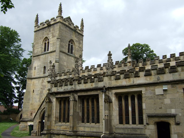
St Wilfrid's Church
Getting here
53.54213, -1.27261
Visiting this summer
Seasonal nature notes and what to look for now
Visiting this summer
Seasonal nature notes and what to look for now
- 🌞Midsummer — early morning visits most comfortable; look for deer fawns in quieter clearings
- 🌿Foraging is at its best in summer here
- 🐕Dogs welcome — bring water in summer; the site has enough space to find shade on hot days
🌤️ Visiting this summer
- 🌞Midsummer — early morning visits most comfortable; look for deer fawns in quieter clearings
- 🌿Foraging is at its best in summer here
- 🐕Dogs welcome — bring water in summer; the site has enough space to find shade on hot days
Good to know
- £Free to visit — no entry charge
- 🐕Dogs welcome
Best for
Wildlife
Very strong match
Multi-group wildlife — Amphibians, Birds, Mammals; Multi-group wildlife — Amphibians, Birds, Mammals
Bird watching
Very strong match
Birds — Blackbird, Woodpigeon, Robin +61 more · last seen 2025; Birds — Blackbird, Woodpigeon, Robin +61 more · last seen 2025
Foraging
Strong match
Plants — Bramble, Hogweed, Hawthorn +24 more foraging species; Deciduous woodland — fungi, berries and wild garlic
Seasonal nature
Strong match
Plants — Common Bird's-foot-trefoil, Cock's-foot, Common Vetch +196 more · last seen 2025; Plants — Common Bird's-foot-trefoil, Cock's-foot, Common Vetch +196 more · last seen 2025
Insect spotting
Strong match
Insects — Roesel's Bush-cricket, Bishop's Mitre, Green Shieldbug +28 more · last seen 2025; Insects — Roesel's Bush-cricket, Bishop's Mitre, Green Shieldbug +28 more · last seen 2025
Dog walks
Good match
Dogs allowed with public access
Trails nearby
Within roughly 5 km🚶Walking
4 signed routes nearby · 1 public path nearby
Signed route nearbyPublic paths
Walking
Barnsley Boundary WalkWalking route
Wakefield WayWalking route
Trans-Pennine Trail (Wombwell to Selby)Walking route
The Heron WayWalking route
🚴Cycling
24 signed routes nearby
Signed route nearby
Cycling
Trans Pennine TrailCycling route
Rotherham Local Cycle NetworkCycling route
Main RouteCycling route414 m
Main RouteCycling route27 m
Main RouteCycling route569 m
Main RouteCycling route29 m
Wildlife to spot
Photos
Weather for this location
Loading local forecast…
Nearby places
Useful places within 5 km
Own or manage this place?
Claim this listing to keep details accurate, add photos, and highlight what makes it special — free.
Claim this pageHow was your visit?
How useful was the information on this page?
id: 504e4876-a117-4aaf-b787-2928d95bbeda